This hiking trail covers 7.24mi starting from Arvière-en-Valromey, Ain. The hike is a loop trail and returns to the trailhead. This hike is rated as moderate, plan for about 4h17m to complete it. The route has an elevation gain of 2438ft and an elevation loss of 2434ft.
Description of the route by the creator
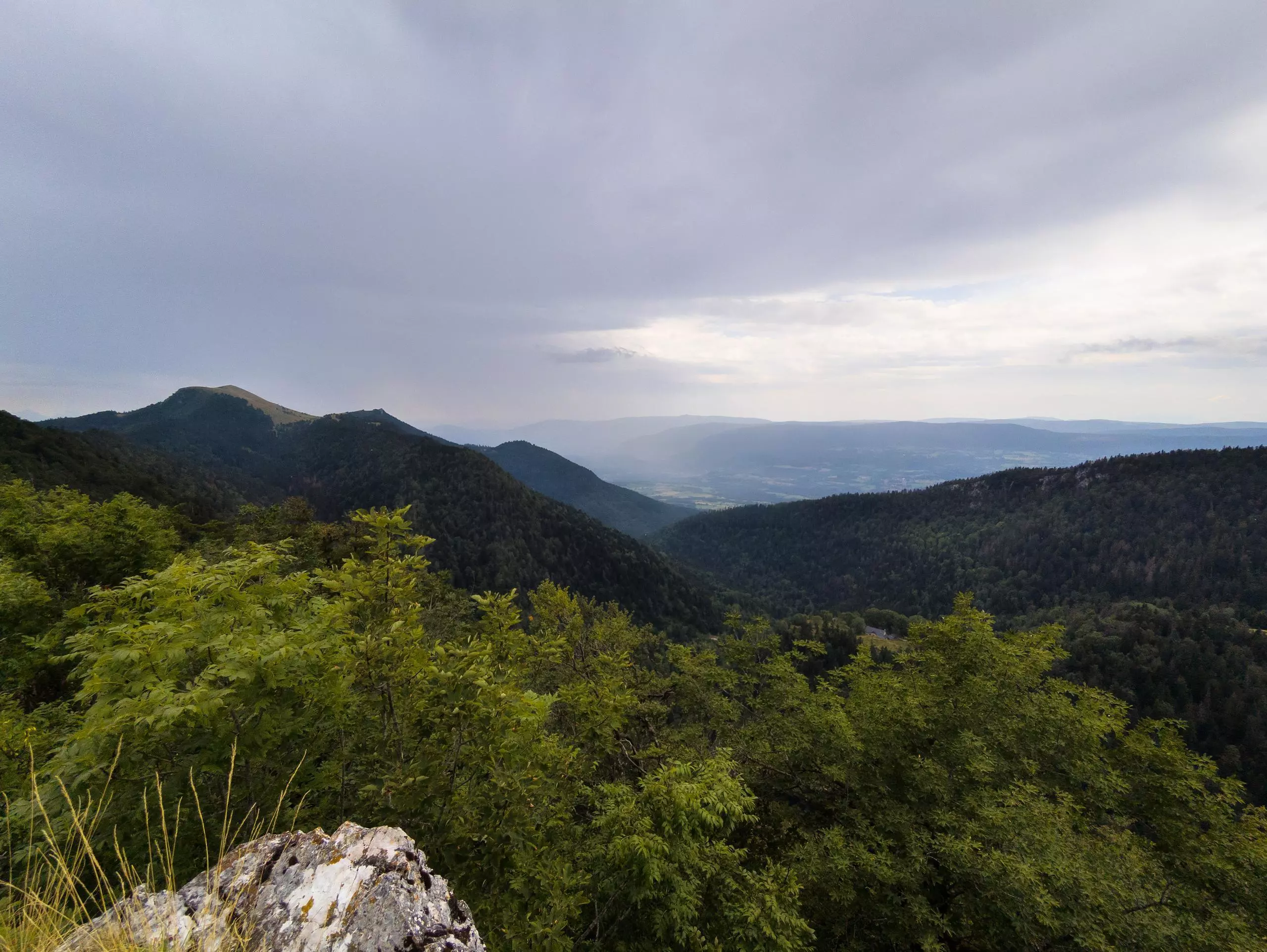
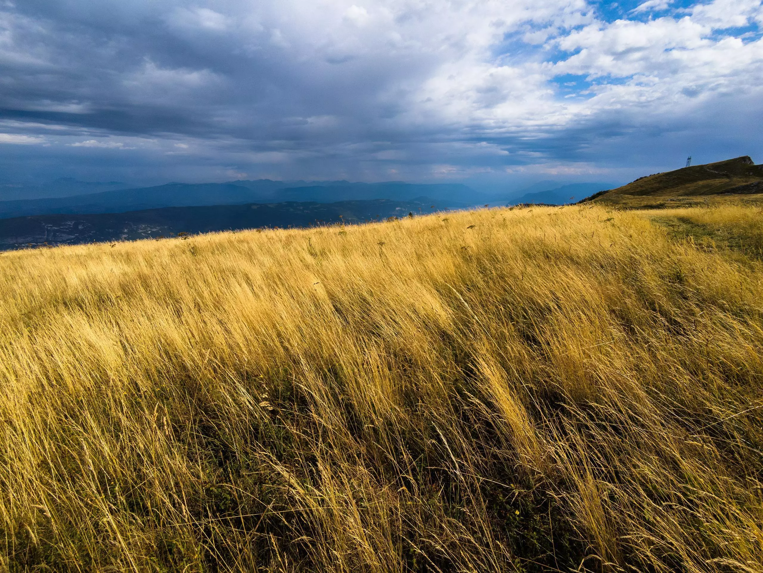
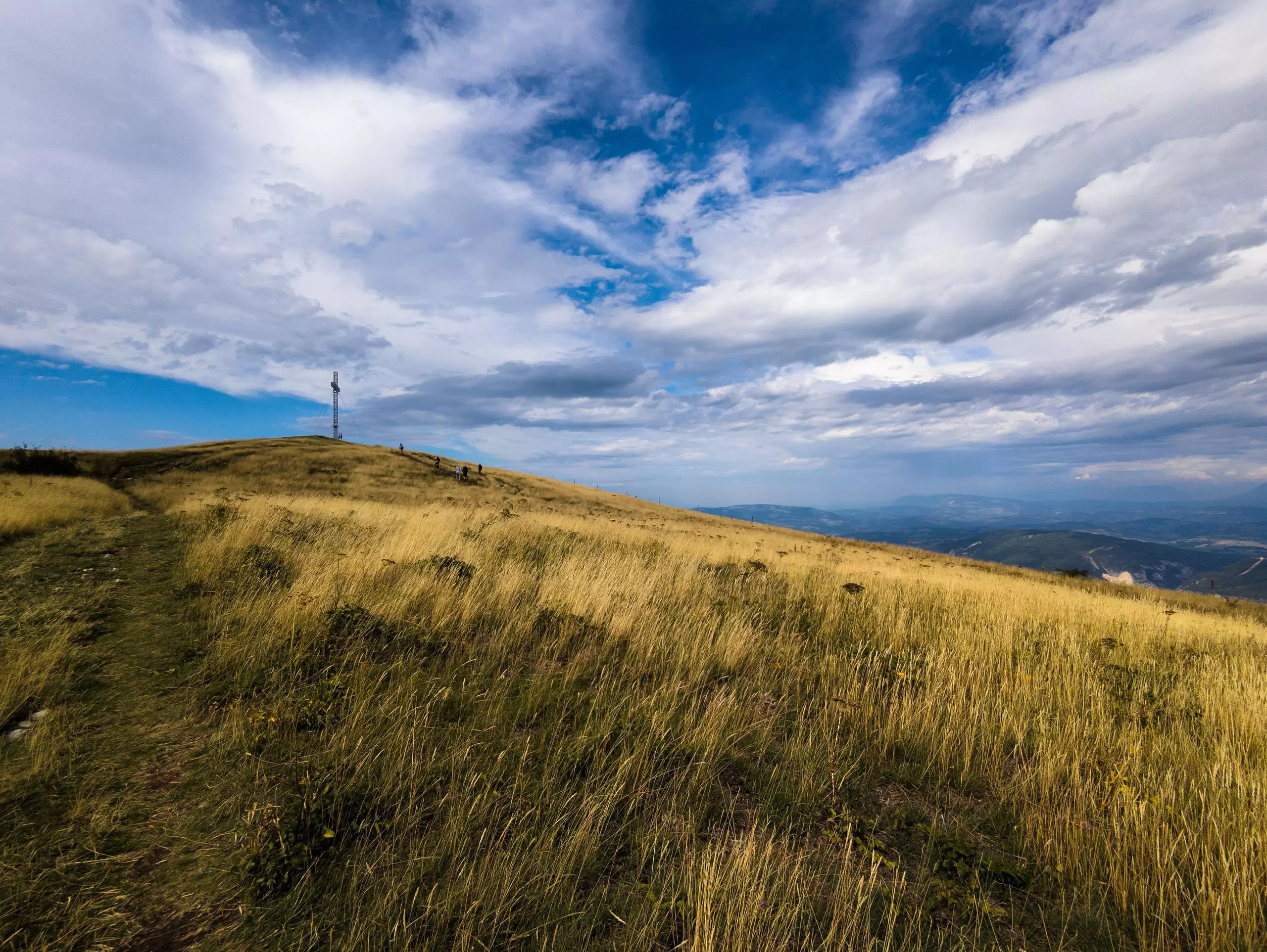
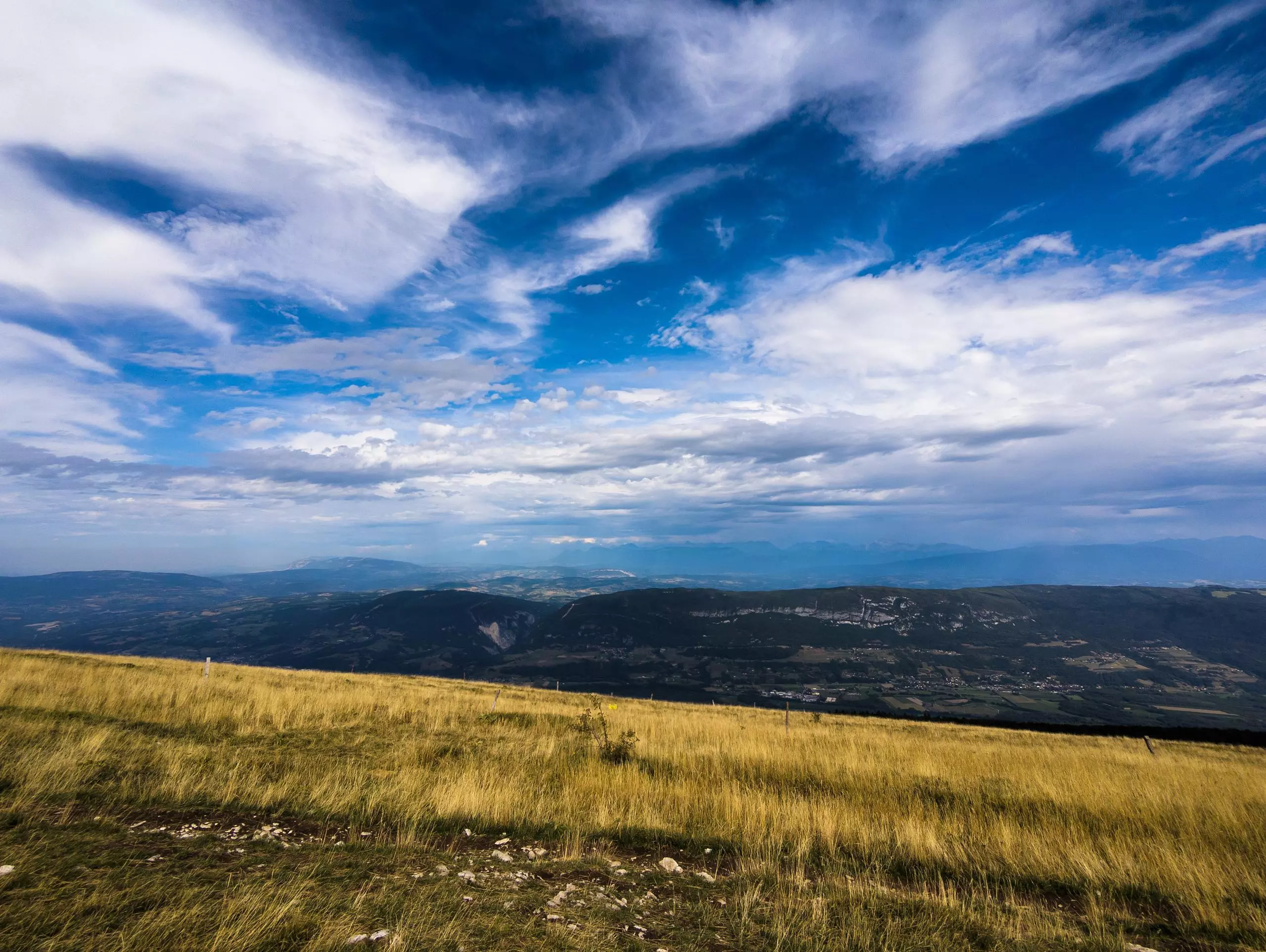
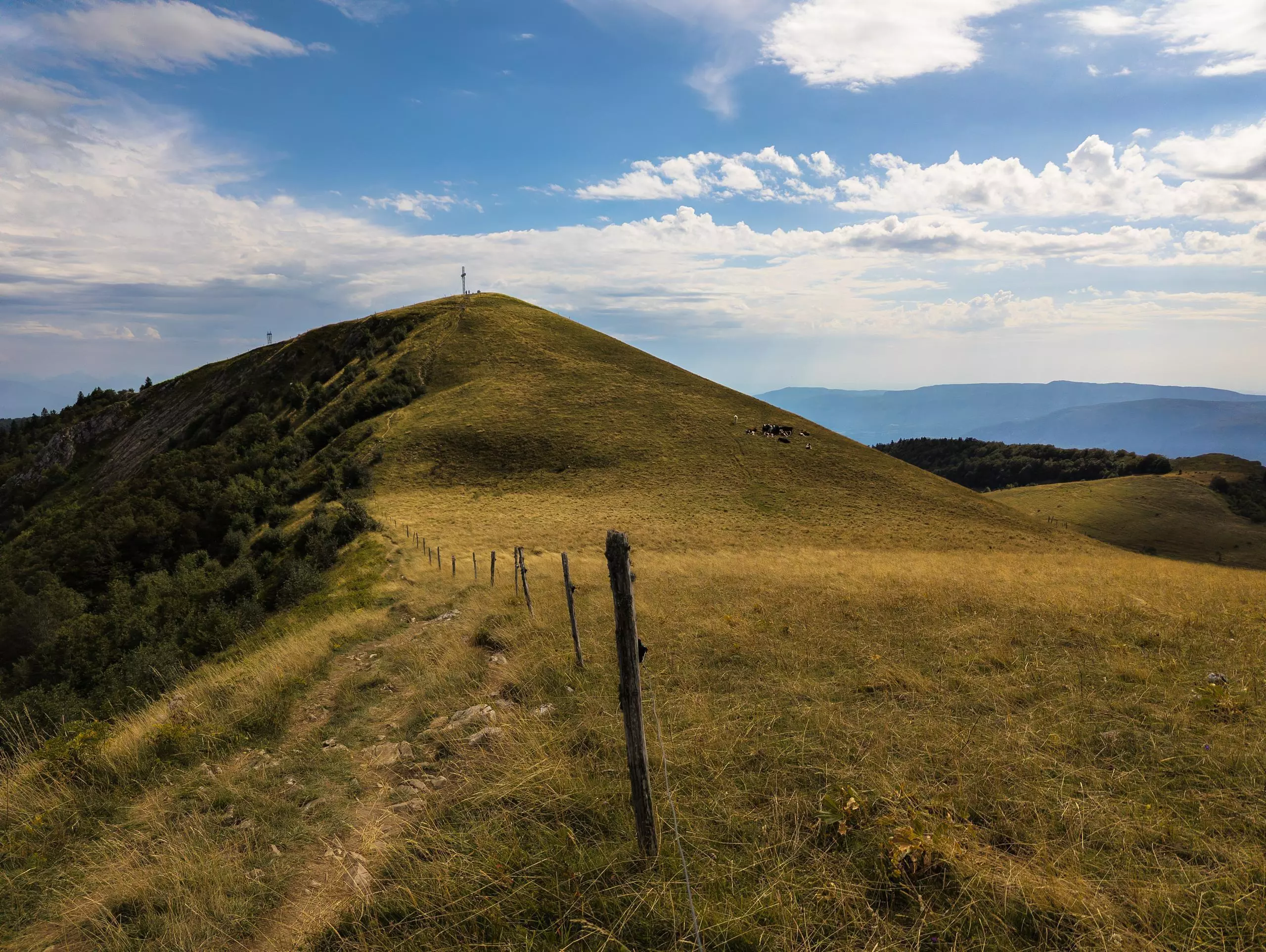
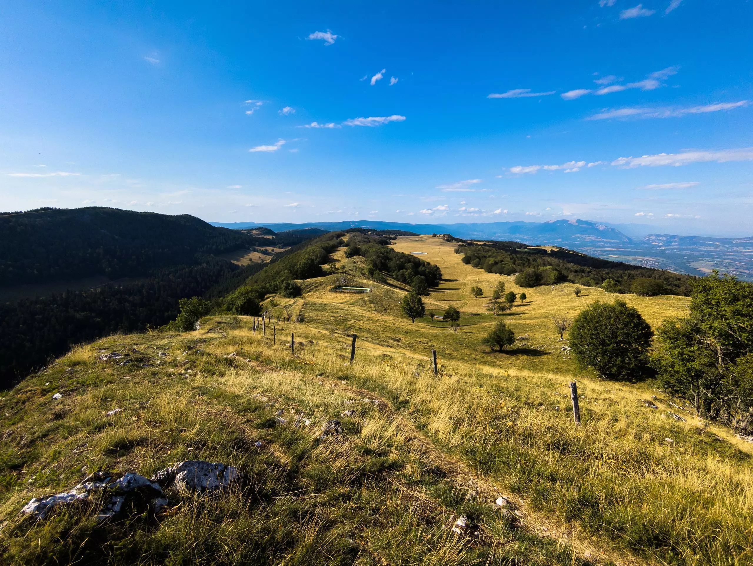
The route starts from the Col de la Biche parking lot. The path to the cross or col du Grand Colombier is well signposted. Just follow the signs. The return journey takes the same route, with a view of the mountains. But you can take the path through the forest for a different itinerary.