This hiking trail covers 0.941mi starting from Bözberg, Aargau. The hike does not return to the trailhead and ends near Gallenkirch, 5225 Bözberg. This hike is rated as easy, plan for about 30m18s to complete it. The route has an elevation gain of 49ft and an elevation loss of 207ft.
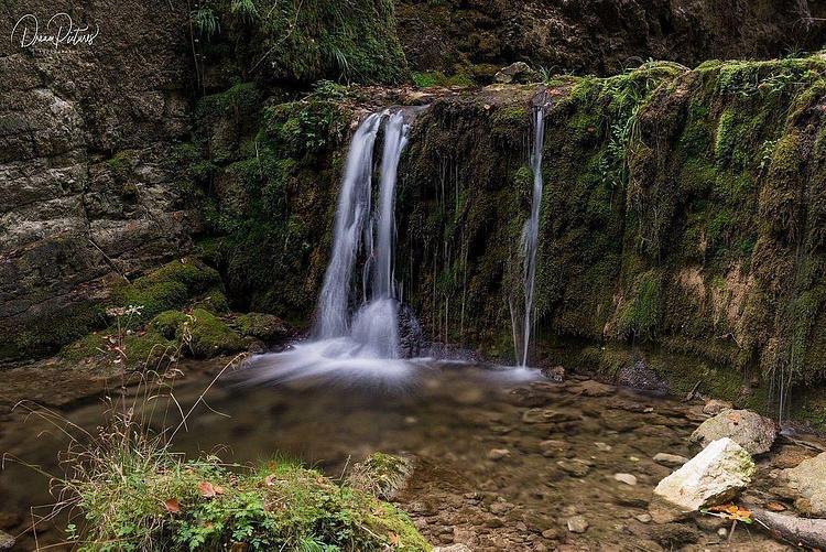
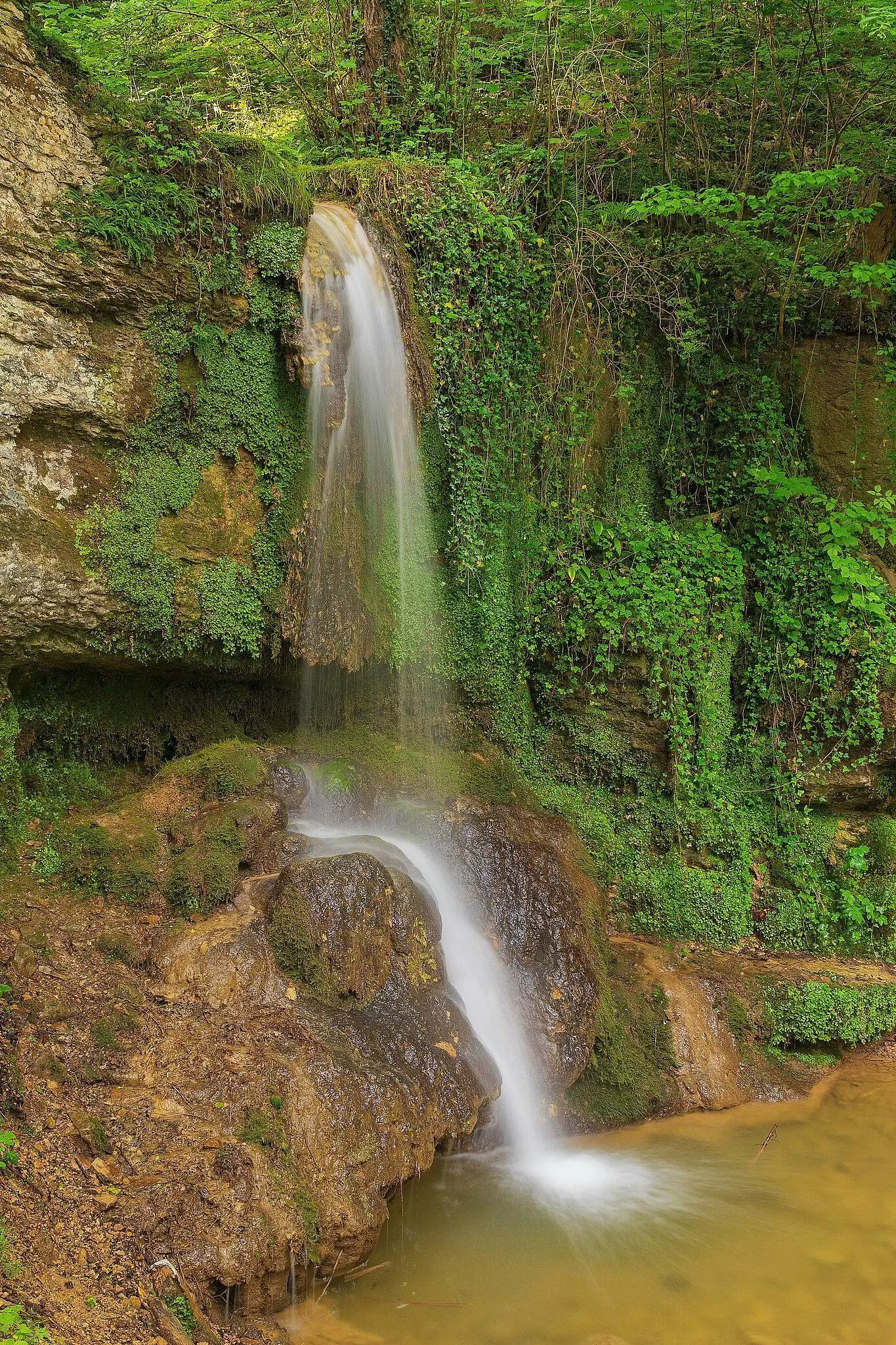
Linner wasserfall
Route details
1.86mph
Speed
216 kcal
Calories burned
5.1%
Avg grade
Point to point
Route type
1654ft
Min altitude
1831ft
Max altitude
Route profile
49ft
Elevation gain
207ft
Elevation loss
1654ft
Min altitude
1831ft
Max altitude
How to get there
Trailhead: Linnerweg, 5225 Bözberg
GPS coordinates of the trailhead: 47.47206, 8.12904 / 47°28'19'' N, 8°7'44'' E