This hiking trail covers 2.579mi starting from Bubendorf, Basel-Landschaft. The hike is a loop trail and returns to the trailhead. This hike is rated as moderate, plan for about 1h23m to complete it. The route has an elevation gain of 607ft and an elevation loss of 607ft.
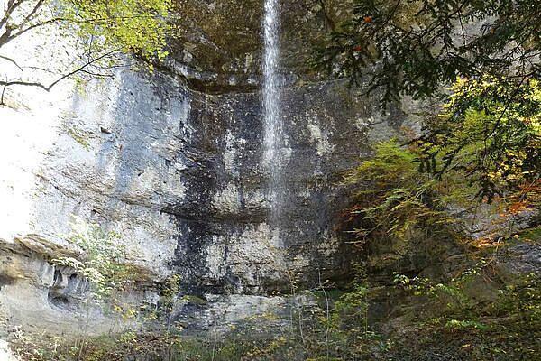
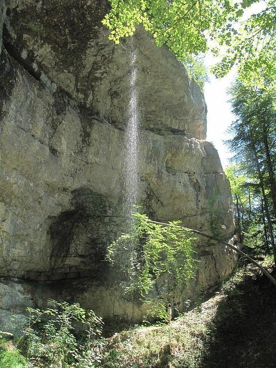
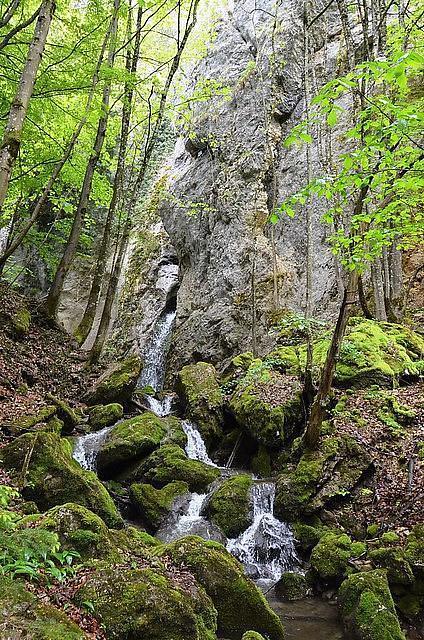
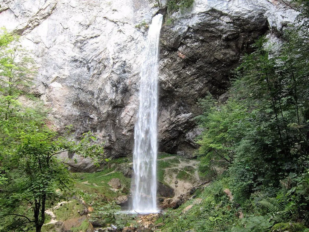
Wildenstein wasserfallen
Route details
1.86mph
Speed
624 kcal
Calories burned
8.9%
Avg grade
Loop trail
Route type
1266ft
Min altitude
1677ft
Max altitude
Steep climb
Route profile
607ft
Elevation gain
607ft
Elevation loss
1266ft
Min altitude
1677ft
Max altitude
How to get there
Trailhead: Wildensteinerstrasse, 4416 Bubendorf
GPS coordinates of the trailhead: 47.44298, 7.73583 / 47°26'34'' N, 7°44'8'' E