This hiking trail covers 0.633mi starting from Kleinlützel, Solothurn. The hike does not return to the trailhead and ends near Auf Blauenstein, 4245 Kleinlützel. This hike is rated as easy, plan for about 20m22s to complete it. The route has an elevation gain of 410ft and an elevation loss of 66ft.
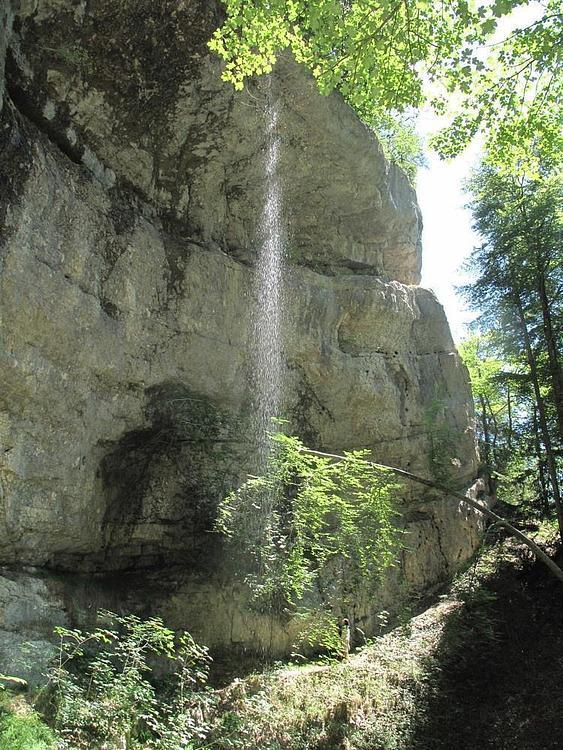
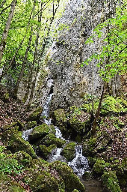
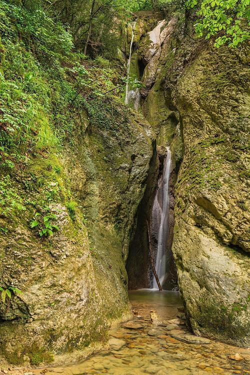
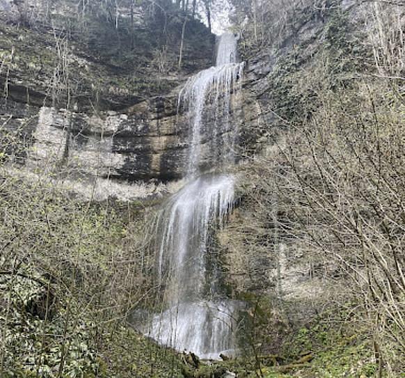
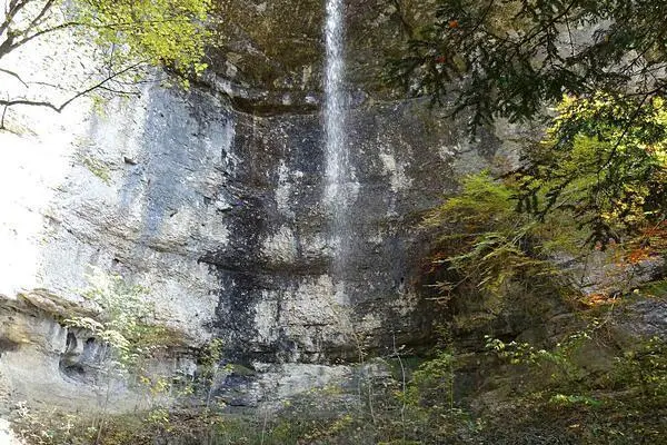
Cascade de Kleinlutzel
Route details
1.86mph
Speed
172 kcal
Calories burned
14.2%
Avg grade
Point to point
Route type
1572ft
Min altitude
1923ft
Max altitude
Steep climb
Route profile
410ft
Elevation gain
66ft
Elevation loss
1572ft
Min altitude
1923ft
Max altitude
How to get there
Trailhead: Taläggerli, 4245 Kleinlützel
GPS coordinates of the trailhead: 47.42994, 7.41093 / 47°25'47'' N, 7°24'39'' E