This hiking trail covers 1.931mi starting from Balm bei Günsberg, Solothurn. The hike is a loop trail and returns to the trailhead. This hike is rated as moderate, plan for about 1h2m to complete it. The route has an elevation gain of 699ft and an elevation loss of 709ft.
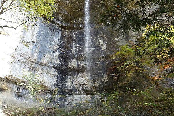
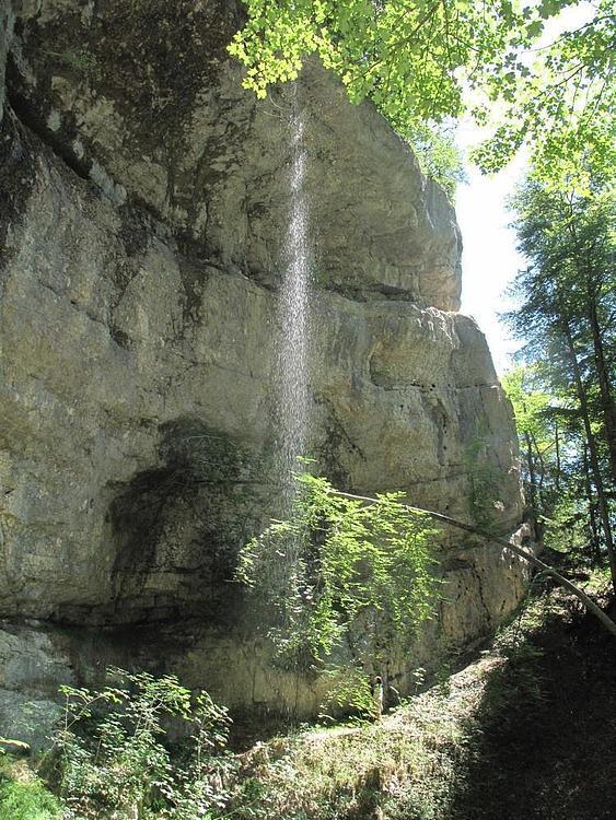
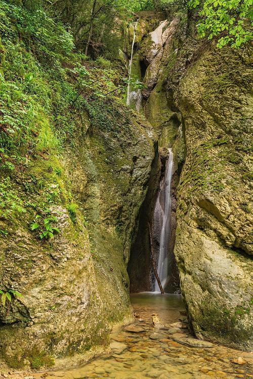
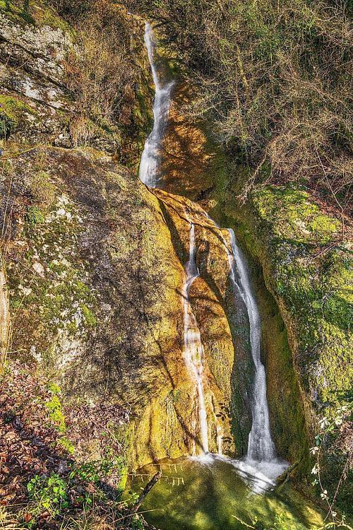
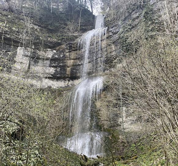
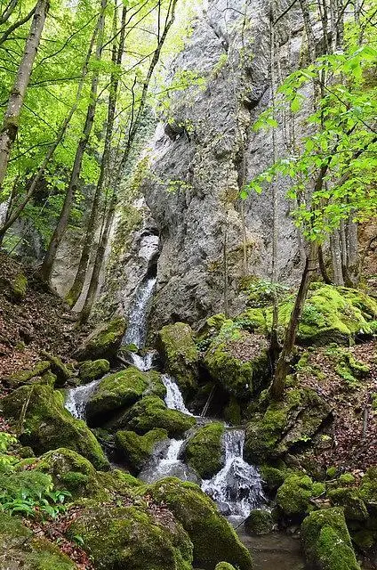
Cascades de Gunsberg
Route details
1.86mph
Speed
485 kcal
Calories burned
13.8%
Avg grade
Loop trail
Route type
2238ft
Min altitude
2520ft
Max altitude
Steep climb
Route profile
699ft
Elevation gain
709ft
Elevation loss
2238ft
Min altitude
2520ft
Max altitude
How to get there
Trailhead: Burgstrasse, 4525 Balm bei Günsberg
GPS coordinates of the trailhead: 47.256, 7.55654 / 47°15'21'' N, 7°33'23'' E