This hiking trail covers 1.862mi starting from Egerkingen, Solothurn. The hike is a loop trail and returns to the trailhead. This hike is rated as hard, plan for about 59m55s to complete it. The route has an elevation gain of 961ft and an elevation loss of 961ft.
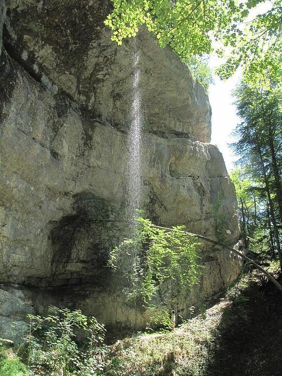
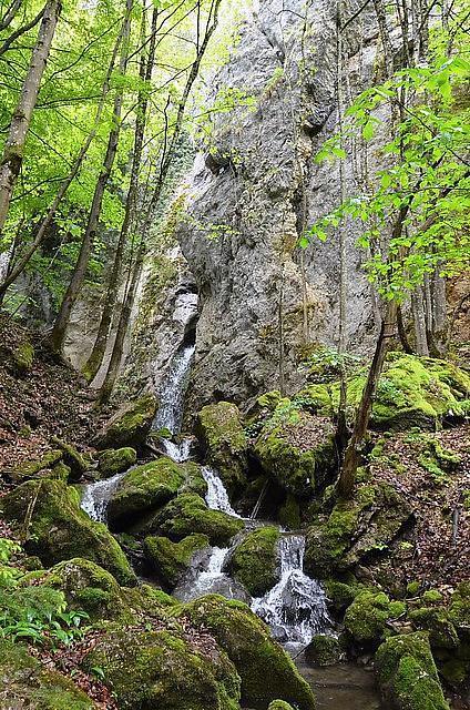
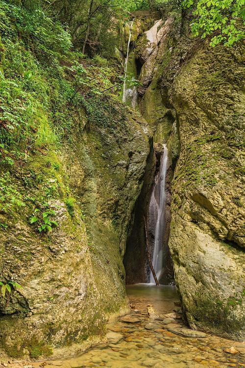
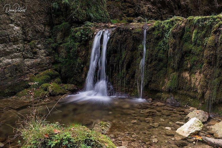
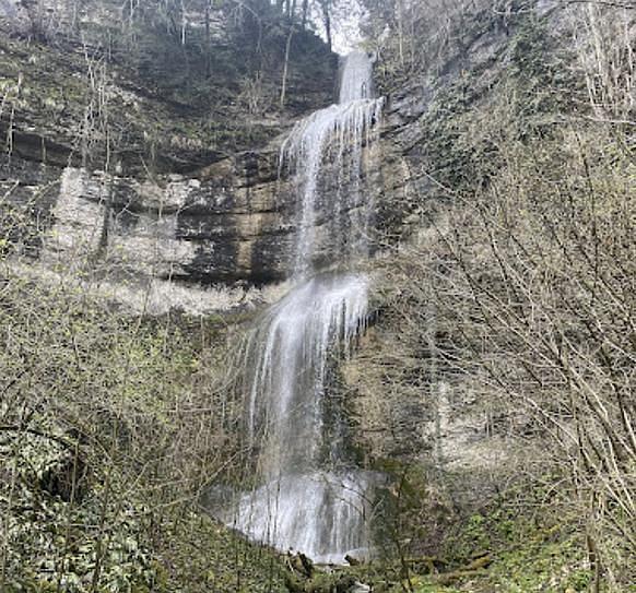
Cascades d'Egerkingen

Route details
1.86mph
Speed
488 kcal
Calories burned
19.6%
Avg grade
Loop trail
Route type
1483ft
Min altitude
2192ft
Max altitude
Steep climb
Route profile
961ft
Elevation gain
961ft
Elevation loss
1483ft
Min altitude
2192ft
Max altitude
How to get there
Trailhead: Vorstadt, 4622 Egerkingen
GPS coordinates of the trailhead: 47.3236, 7.79248 / 47°19'24'' N, 7°47'32'' E