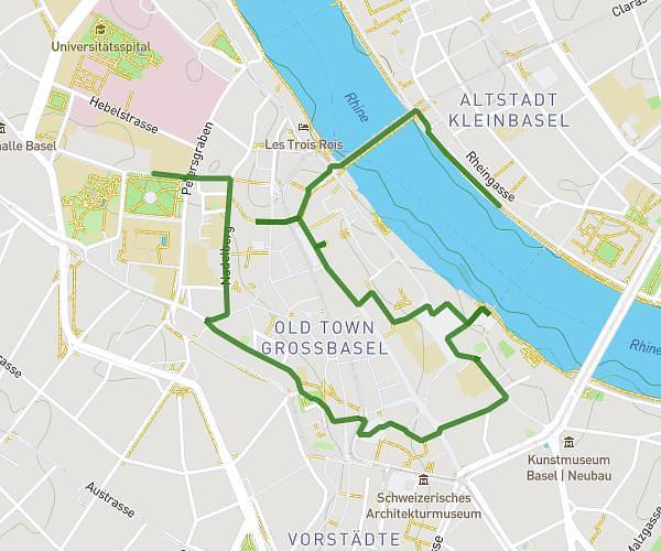
This hiking trail covers 0.683mi starting from Nunningen, Solothurn. The hike does not return to the trailhead and ends near Aeschollen, 4208 Nunningen. This hike is rated as moderate, plan for about 21m58s to complete it. The route has an elevation gain of 476ft and an elevation loss of 509ft.
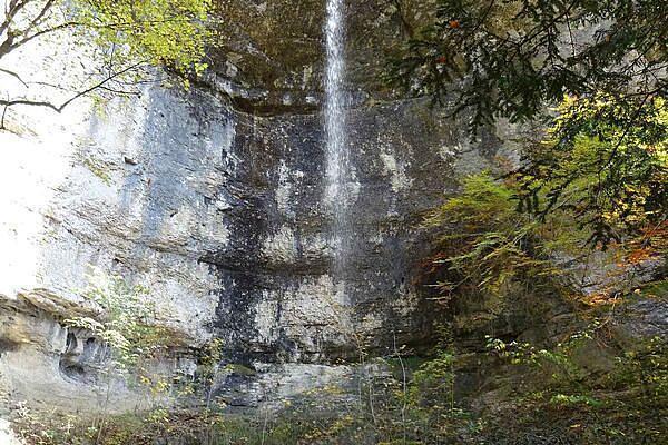
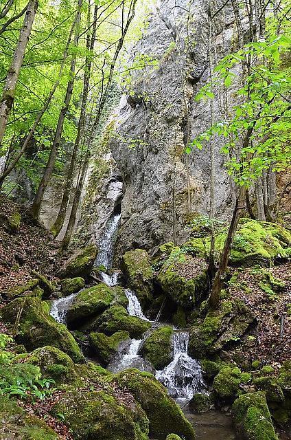
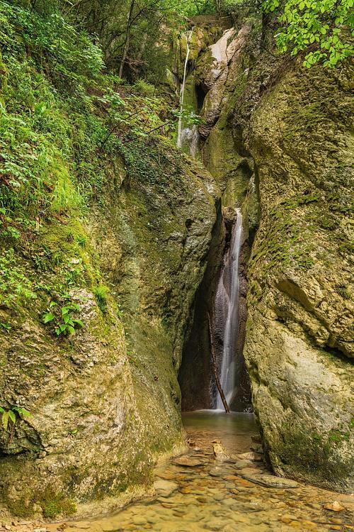
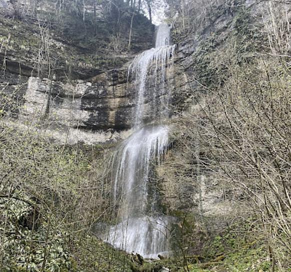
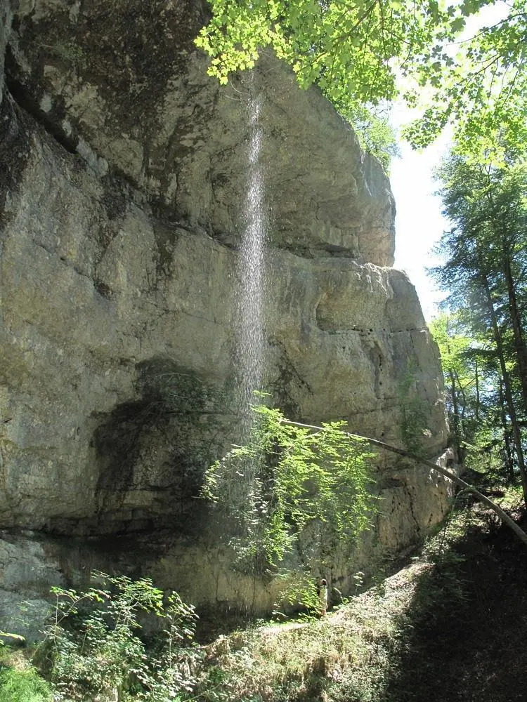
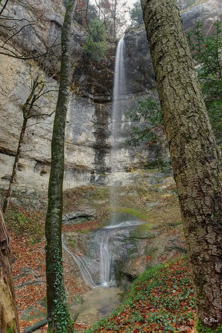
Cascades de Nunnigen
Route details
1.86mph
Speed
188 kcal
Calories burned
27.3%
Avg grade
Point to point
Route type
2615ft
Min altitude
2858ft
Max altitude
Steep climb
Route profile
476ft
Elevation gain
509ft
Elevation loss
2615ft
Min altitude
2858ft
Max altitude
How to get there
Trailhead: Bergweg, 4208 Nunningen
GPS coordinates of the trailhead: 47.37866, 7.62657 / 47°22'43'' N, 7°37'35'' E