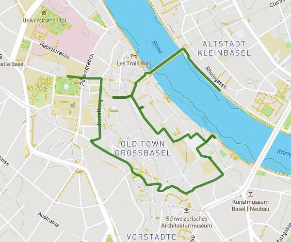
This hiking trail covers 5.516mi starting from Balsthal, Solothurn. The hike is a loop trail and returns to the trailhead. This hike is rated as hard, plan for about 2h57m to complete it. The route has an elevation gain of 1375ft and an elevation loss of 1371ft.
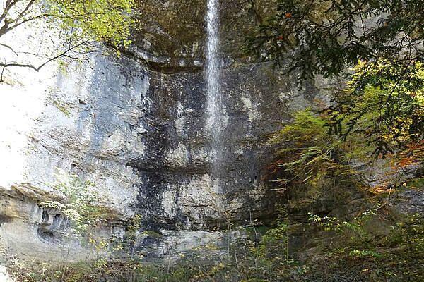
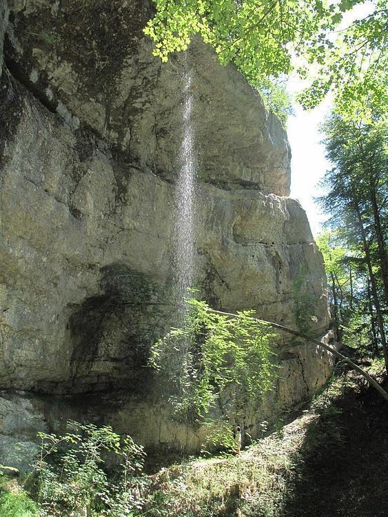
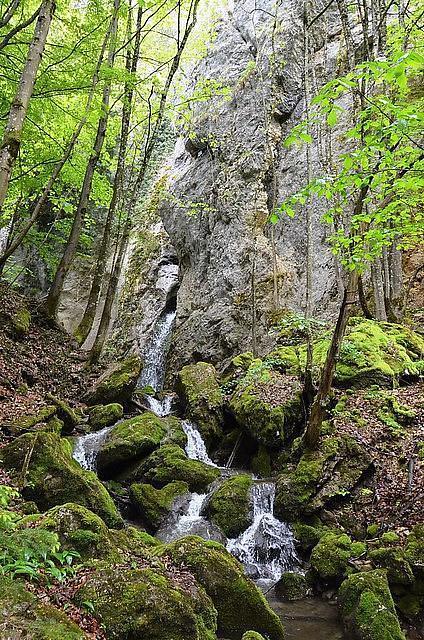
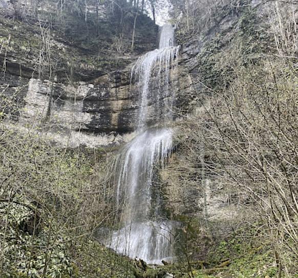
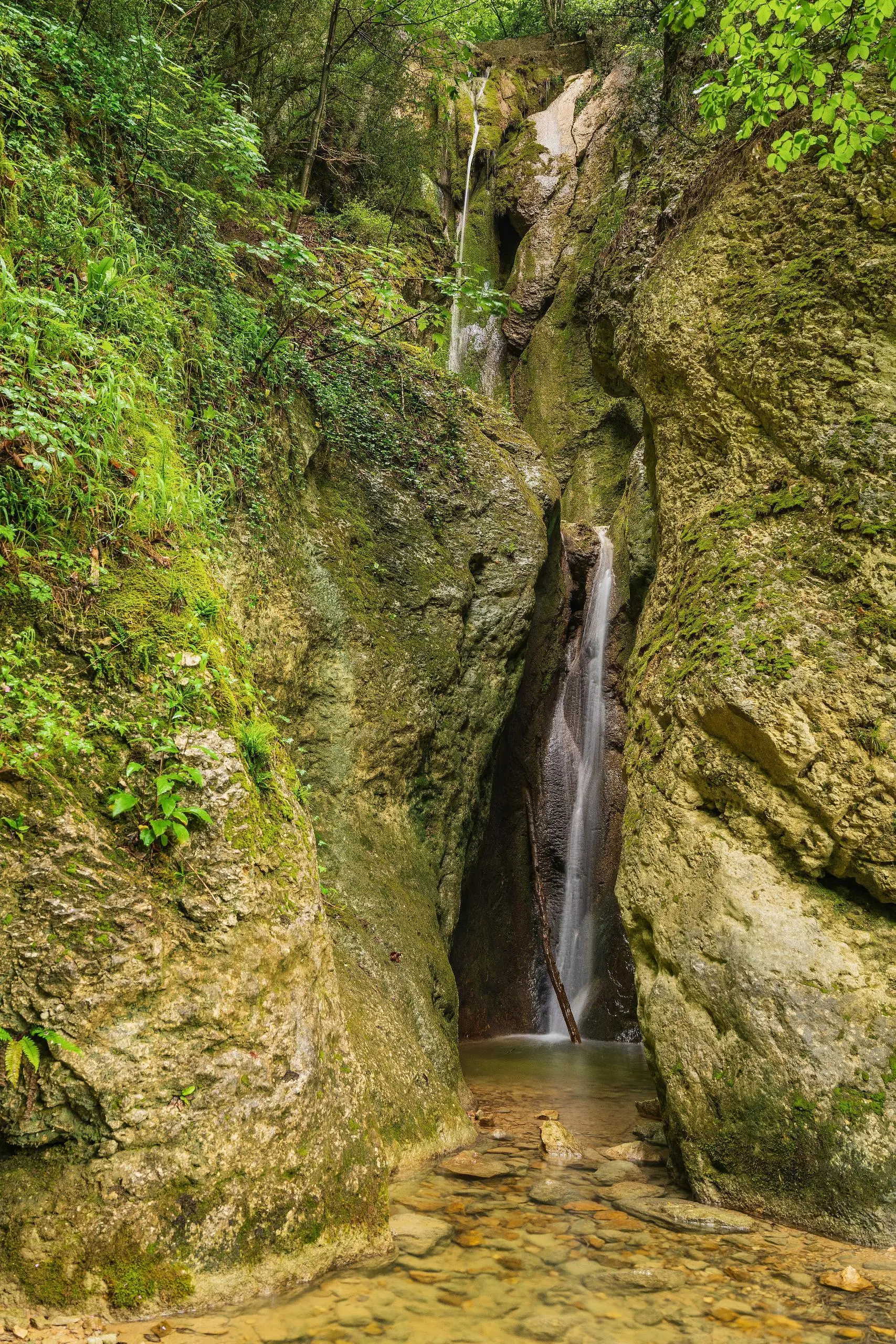
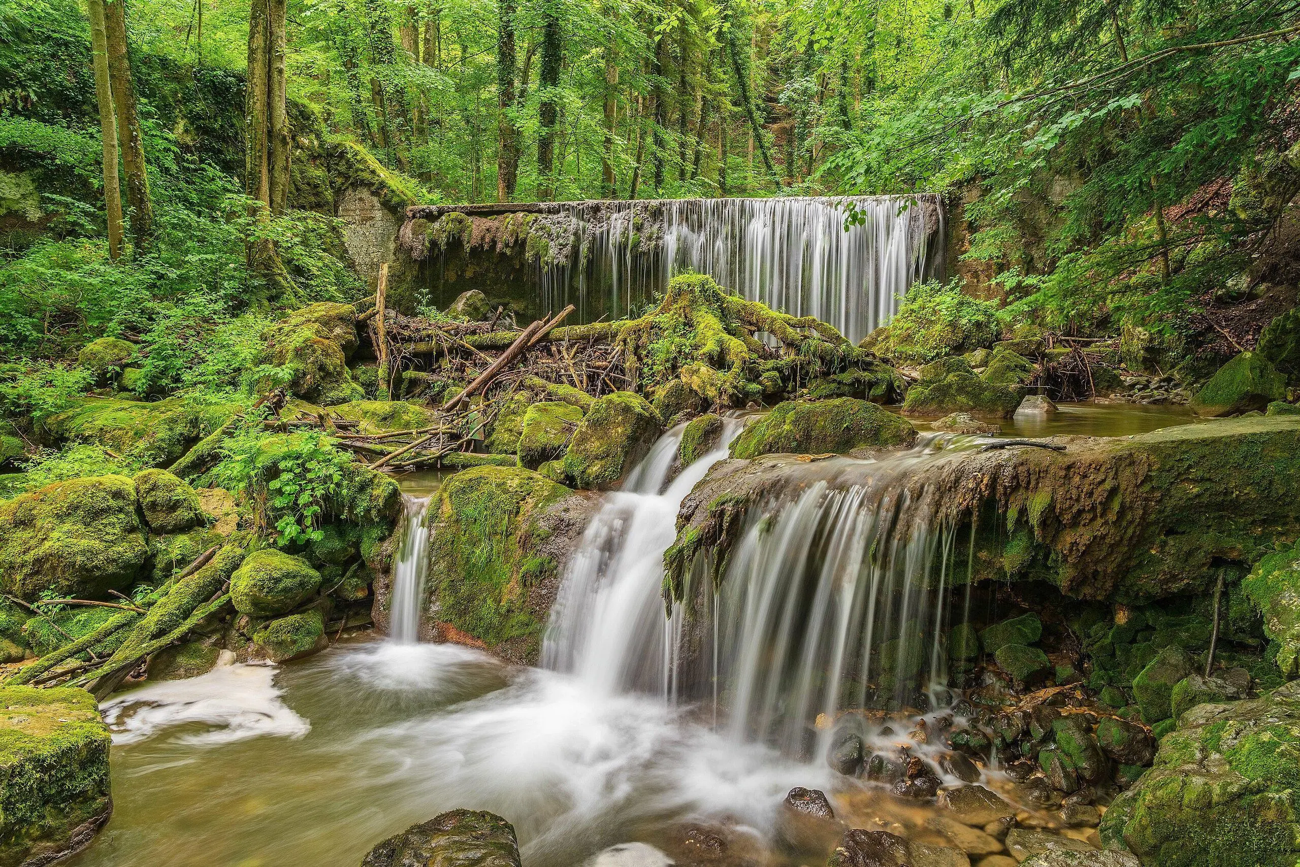
Cascades de Balsthal
Route details
1.86mph
Speed
1340 kcal
Calories burned
9.4%
Avg grade
Loop trail
Route type
1637ft
Min altitude
2323ft
Max altitude
Steep climb
Route profile
1375ft
Elevation gain
1371ft
Elevation loss
1637ft
Min altitude
2323ft
Max altitude
How to get there
Trailhead: Am Herrenbrunnen, 4710 Balsthal
GPS coordinates of the trailhead: 47.3202, 7.69574 / 47°19'12'' N, 7°41'44'' E