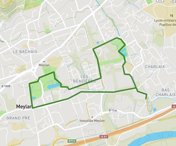
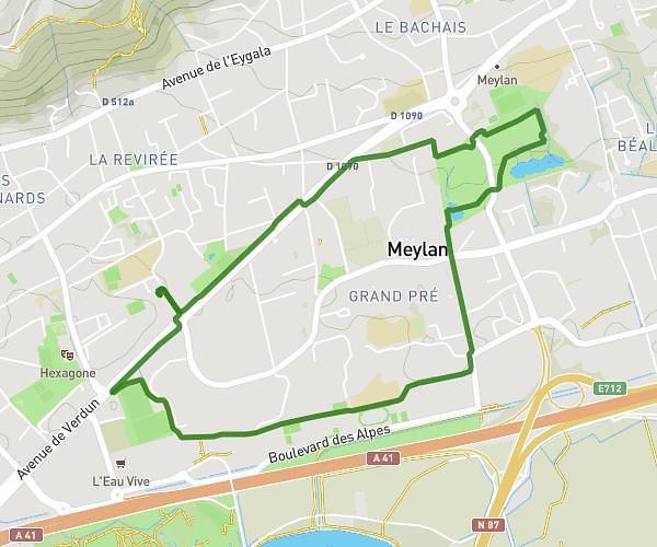
This walking route covers 3.081mi starting from Meylan, Isère. The walk does not return to the trailhead and ends near Avenue Des Quatre Chemins, 38240 Meylan, France. This walk is rated as easy, plan for about 1h6m to complete it. The route has an elevation gain of 325ft and an elevation loss of 299ft.
Marche avc parcours 5km
Route details
21:25/mi
Pace
270 kcal
Calories burned
Point to point
Route type
725ft
Min altitude
876ft
Max altitude
Route profile
325ft
Elevation gain
299ft
Elevation loss
725ft
Min altitude
876ft
Max altitude
How to get there
Trailhead: 12 Chemin Du Monarié, 38240 Meylan, France
GPS coordinates of the trailhead: 45.210688, 5.799605 / 45°12'38'' N, 5°47'58'' E