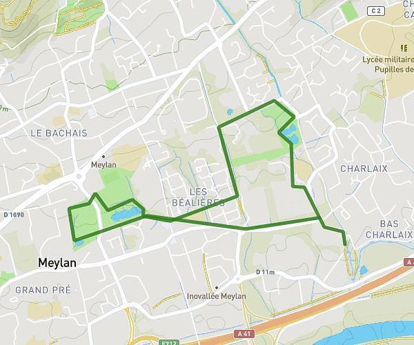
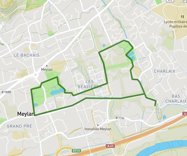
This walking route covers 2.728mi starting from Voiron, Isère. The walk is a loop trail and returns to the trailhead. This walk is rated as easy, plan for about 1h5m to complete it. The route has an elevation gain of 354ft and an elevation loss of 367ft.
6000 Pas
Route details
24:08/mi
Pace
269 kcal
Calories burned
Loop trail
Route type
1053ft
Min altitude
1237ft
Max altitude
Route profile
354ft
Elevation gain
367ft
Elevation loss
1053ft
Min altitude
1237ft
Max altitude
How to get there
Trailhead: Rue Baudelaire, 38500 Voiron
GPS coordinates of the trailhead: 45.3664, 5.5794 / 45°21'59'' N, 5°34'45'' E