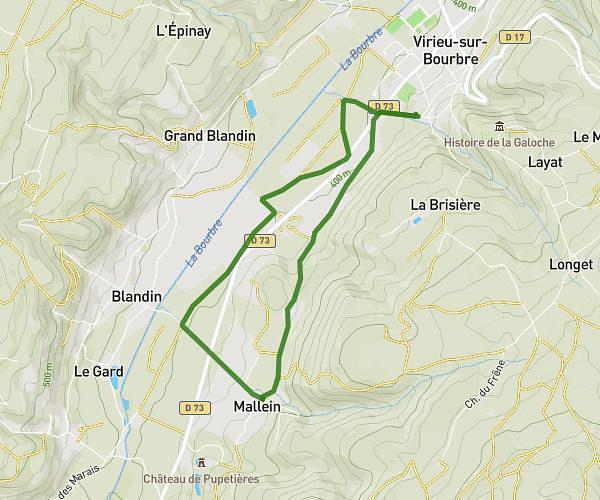
This walking route covers 3.441mi starting from Villages du Lac de Paladru, Isère. The walk is a loop trail and returns to the trailhead. This walk is rated as moderate, plan for about 1h6m to complete it. The route has an elevation gain of 394ft and an elevation loss of 397ft.
Chubin _chubin
Route details
19:12/mi
Pace
270 kcal
Calories burned
Loop trail
Route type
1854ft
Min altitude
2188ft
Max altitude
Route profile
394ft
Elevation gain
397ft
Elevation loss
1854ft
Min altitude
2188ft
Max altitude
How to get there
Trailhead: 215 Route De Chubins, 38730 Villages du Lac de Paladru, France
GPS coordinates of the trailhead: 45.477695, 5.503336 / 45°28'39'' N, 5°30'12'' E