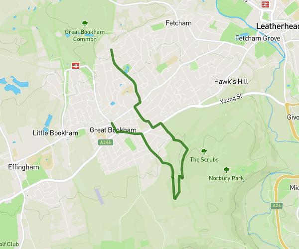
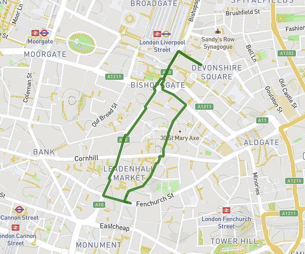
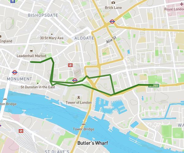
This walking route covers 9.494mi starting from Banstead, England. The walk is a loop trail and returns to the trailhead. This walk is rated as strenuous, plan for about 5h5m to complete it. The route has an elevation gain of 1047ft and an elevation loss of 1053ft.
DofE Silver
Route details
32:11/mi
Pace
1248 kcal
Calories burned
Loop trail
Route type
341ft
Min altitude
571ft
Max altitude
Route profile
1047ft
Elevation gain
1053ft
Elevation loss
341ft
Min altitude
571ft
Max altitude
How to get there
Trailhead: Holly Lane, SM7 2BT Banstead
GPS coordinates of the trailhead: 51.30947, -0.1841 / 51°18'34'' N, 0°11'2'' W