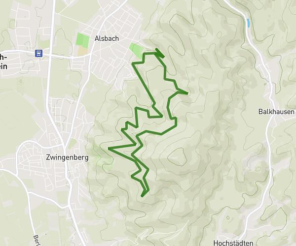
This running route covers 5.989mi starting from Lautertal, Hesse. The run does not return to the trailhead and ends near Schlössergasse 41, 64686 Lautertal, Germany. This run is rated as moderate, expect about 55m to complete it. The route has an elevation gain of 1227ft and an elevation loss of 1007ft.
Heimrunde mit 3x Sprint
Route details
6.53mph
Speed
629 kcal
Calories burned
Point to point
Route type
1014ft
Min altitude
1453ft
Max altitude
Route profile
1227ft
Elevation gain
1007ft
Elevation loss
1014ft
Min altitude
1453ft
Max altitude
How to get there
Trailhead: Grenzweg 6, 64686 Lautertal, Germany
GPS coordinates of the trailhead: 49.743267, 8.706116 / 49°44'35'' N, 8°42'22'' E