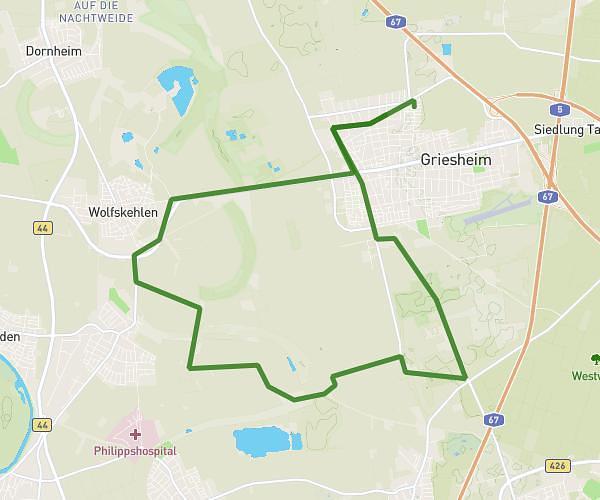
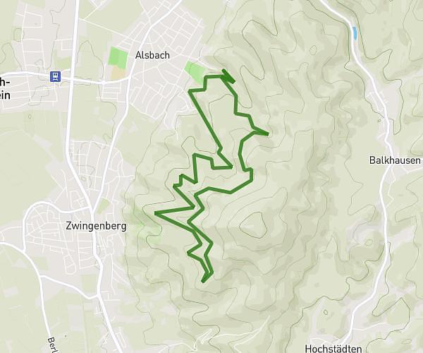
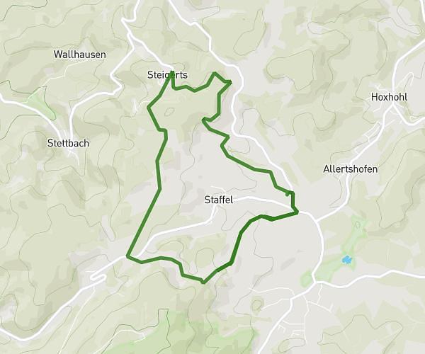
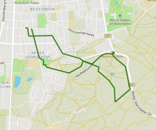
This running route covers 3.57mi starting from Darmstadt, Hesse. The run is a loop trail and returns to the trailhead. This run is rated as easy, expect about 38m18s to complete it. The route has an elevation gain of 387ft and an elevation loss of 404ft.
5km Trail
Route details
5.59mph
Speed
438 kcal
Calories burned
Loop trail
Route type
509ft
Min altitude
810ft
Max altitude
Route profile
387ft
Elevation gain
404ft
Elevation loss
509ft
Min altitude
810ft
Max altitude
How to get there
Trailhead: Ludwigshöhstraße 35, 64285 Darmstadt, Germany
GPS coordinates of the trailhead: 49.85567, 8.651121 / 49°51'20'' N, 8°39'4'' E