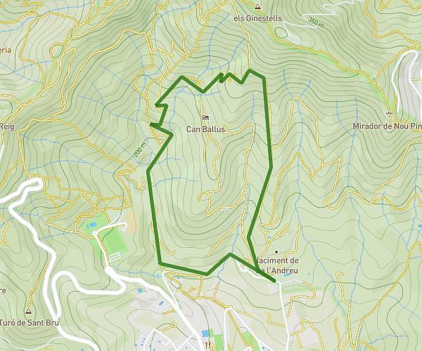
This hiking trail covers 4.589mi starting from Barcelona, Barcelona. The hike is a loop trail and returns to the trailhead. This hike is rated as hard, plan for about 2h45m to complete it. The route has an elevation gain of 1539ft and an elevation loss of 1539ft.
Tibidabo
Route details
1.67mph
Speed
1277 kcal
Calories burned
12.7%
Avg grade
Loop trail
Route type
541ft
Min altitude
1578ft
Max altitude
Steep climb
Route profile
1539ft
Elevation gain
1539ft
Elevation loss
541ft
Min altitude
1578ft
Max altitude
How to get there
Trailhead: Carrer De Fastenrath 126, 08035 Barcelona, Barcelona, Spain
GPS coordinates of the trailhead: 41.423, 2.14914 / 41°25'22'' N, 2°8'56'' E