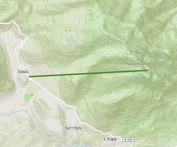
This hiking trail covers 8.7mi starting from Cercs, Barcelona. The hike does not return to the trailhead and ends near Camí Del Coll De Salamó, 08698 Fígols. This hike is rated as strenuous, plan for about 3h7m to complete it. The route has an elevation gain of 4980ft and an elevation loss of 1650ft.
SJ-FUMANYA
Route details
2.79mph
Speed
1546 kcal
Calories burned
14.4%
Avg grade
Point to point
Route type
2156ft
Min altitude
6276ft
Max altitude
Steep climb
Route profile
4980ft
Elevation gain
1650ft
Elevation loss
2156ft
Min altitude
6276ft
Max altitude
How to get there
Trailhead: C-1411z, 08698 Cercs
GPS coordinates of the trailhead: 42.14548, 1.85985 / 42°8'43'' N, 1°51'35'' E