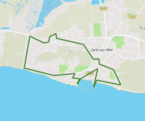
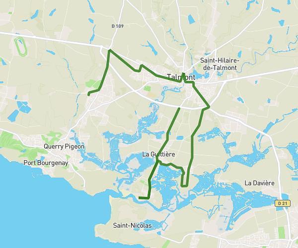
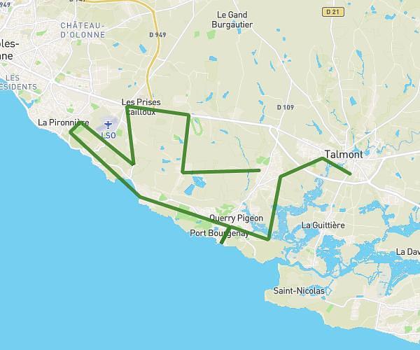
This cycling route covers 13.612mi starting from Les Sables-d'Olonne, Vendée. The ride is a loop trail and returns to the trailhead. This route is rated as easy, plan for about 16h40m to complete it. The route has an elevation gain of 89ft and an elevation loss of 89ft.
JACQUES BACCHINI
Route details
8764 kcal
Calories burned
0.2%
Avg grade
Loop trail
Route type
7ft
Min altitude
72ft
Max altitude
Route profile
89ft
Elevation gain
89ft
Elevation loss
7ft
Min altitude
72ft
Max altitude
How to get there
Trailhead: 21 Rue Guillaume Dupuytren, 85340 Les Sables-d'Olonne, France
GPS coordinates of the trailhead: 46.49951, -1.76292 / 46°29'58'' N, 1°45'46'' W