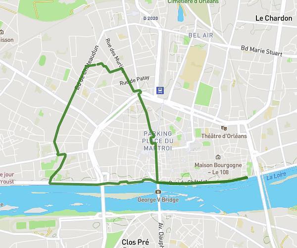
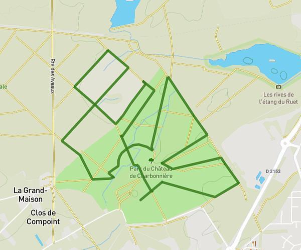
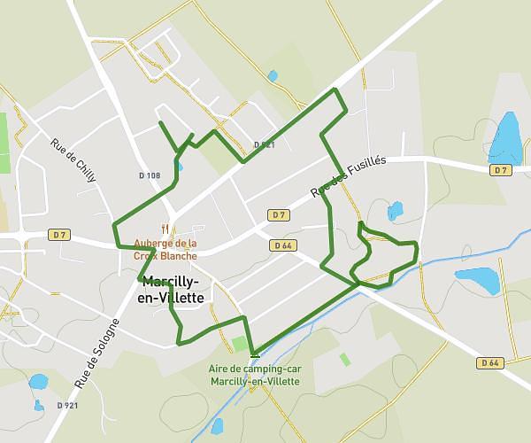
This running route covers 4.272mi starting from La Ferté-Saint-Aubin, Loiret. The run is a loop trail and returns to the trailhead. This run is rated as easy, expect about 44m44s to complete it. The route has an elevation gain of 131ft and an elevation loss of 131ft.
30/06/2023
Route details
5.73mph
Speed
511 kcal
Calories burned
Loop trail
Route type
341ft
Min altitude
390ft
Max altitude
Route profile
131ft
Elevation gain
131ft
Elevation loss
341ft
Min altitude
390ft
Max altitude
How to get there
Trailhead: Rue Des Thuyas, 45240 La Ferté-Saint-Aubin
GPS coordinates of the trailhead: 47.71375, 1.93821 / 47°42'49'' N, 1°56'17'' E