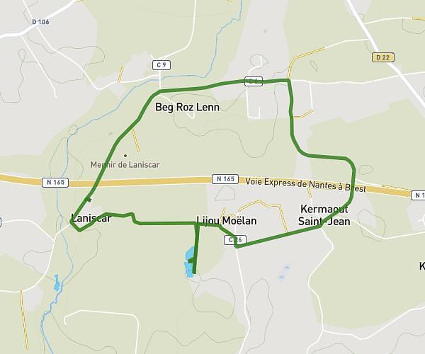
This walking route covers 1.699mi starting from Trégunc, Finistère. The walk does not return to the trailhead and ends near 250 Rue Du Port, 29910 Trégunc, France. This walk is rated as easy, plan for about 7m to complete it. The route has an elevation gain of 92ft and an elevation loss of 98ft.
Kerouini
Route details
4:07/mi
Pace
29 kcal
Calories burned
Point to point
Route type
3ft
Min altitude
33ft
Max altitude
Route profile
92ft
Elevation gain
98ft
Elevation loss
3ft
Min altitude
33ft
Max altitude
How to get there
Trailhead: Route De Kerouni, 29910 Trégunc, France
GPS coordinates of the trailhead: 47.80982, -3.86414 / 47°48'35'' N, 3°51'50'' W