MapPlanner
3.274mi
Distance
59m24s
Duration
18:09/mi
Pace
Moderate
Level

maison

Route details

18:09/mi
Pace
243 kcal
Calories burned
Loop trail
Route type
194ft
Min altitude
266ft
Max altitude

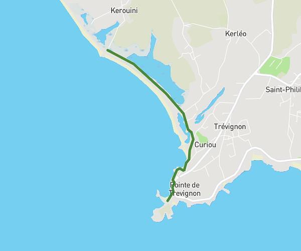
This walking route covers 3.274mi starting from Le Trévoux, Finistère. The walk is a loop trail and returns to the trailhead. This walk is rated as moderate, plan for about 59m24s to complete it. The route has an elevation gain of 203ft and an elevation loss of 203ft.

Route profile

203ft
Elevation gain
203ft
Elevation loss
194ft
Min altitude
266ft
Max altitude

How to get there

Trailhead: C 6, 29380 Le Trévoux, France

GPS coordinates of the trailhead: 47.87643, -3.65289 / 47°52'35'' N, 3°39'10'' W

Caution: May Cross Private Property

This route may pass through or near private property. Always respect posted signs, obtain permission where required, and follow local trespassing laws. MapPlanner does not guarantee public access along any route.

Safety Notice

Trail and road conditions may change without notice due to weather, construction, or other factors. Always verify current conditions before heading out. You are responsible for your own safety — follow local signage, obey traffic laws, and use your best judgment on the trail.