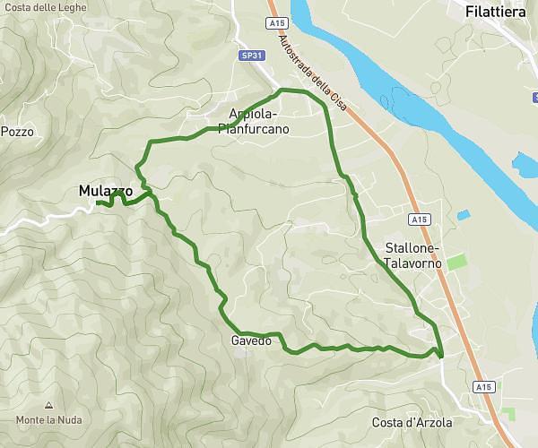
This hiking trail covers 3.851mi starting from Filattiera, Massa-Carrara. The hike does not return to the trailhead and ends near Ponte Di Valle Nuovo, 54021 Bagnone Massa-Carrara, Italy. This hike is rated as strenuous, plan for about 3h30m to complete it. The route has an elevation gain of 650ft and an elevation loss of 3461ft.
Vico valle - Monte Dongo CAI 122
Route details
1.1mph
Speed
1548 kcal
Calories burned
20.2%
Avg grade
Point to point
Route type
1519ft
Min altitude
4888ft
Max altitude
Steep climb
Route profile
650ft
Elevation gain
3461ft
Elevation loss
1519ft
Min altitude
4888ft
Max altitude
How to get there
Trailhead: 54023, Filattiera, Massa-Carrara, Italy
GPS coordinates of the trailhead: 44.383721, 9.999609 / 44°23'1'' N, 9°59'58'' E