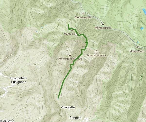
This hiking trail covers 6.39mi starting from Mulazzo, Massa-Carrara. The hike is a loop trail and returns to the trailhead. This hike is rated as hard, plan for about 2h34m to complete it. The route has an elevation gain of 1201ft and an elevation loss of 1184ft.
gavedo
Route details
2.49mph
Speed
1144 kcal
Calories burned
7.1%
Avg grade
Loop trail
Route type
489ft
Min altitude
1171ft
Max altitude
Route profile
1201ft
Elevation gain
1184ft
Elevation loss
489ft
Min altitude
1171ft
Max altitude
How to get there
Trailhead: Via Roma 3, 54026 Mulazzo Massa-Carrara, Italy
GPS coordinates of the trailhead: 44.3149, 9.8895 / 44°18'53'' N, 9°53'22'' E