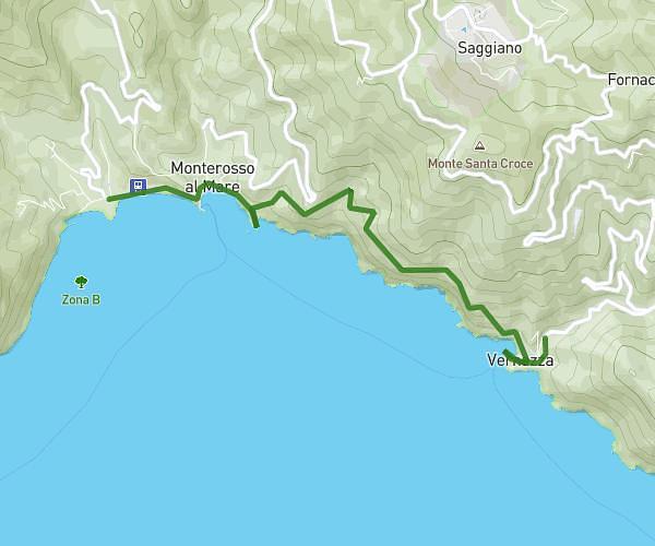
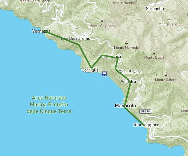
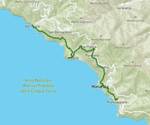
This hiking trail covers 4.176mi starting from Vernazza, La Spezia. The hike does not return to the trailhead and ends near Via Ettore Vernazza 59, 19018 Vernazza La Spezia, Italy. This hike is rated as strenuous, plan for about 1h45m to complete it. The route has an elevation gain of 2316ft and an elevation loss of 2520ft.
Cinq Terre Jour 3 Matin
Route details
2.39mph
Speed
864 kcal
Calories burned
21.9%
Avg grade
Point to point
Route type
20ft
Min altitude
2080ft
Max altitude
Steep climb
Route profile
2316ft
Elevation gain
2520ft
Elevation loss
20ft
Min altitude
2080ft
Max altitude
How to get there
Trailhead: Via Fieschi 35, 19018 Vernazza La Spezia, Italy
GPS coordinates of the trailhead: 44.12019, 9.709032 / 44°7'12'' N, 9°42'32'' E