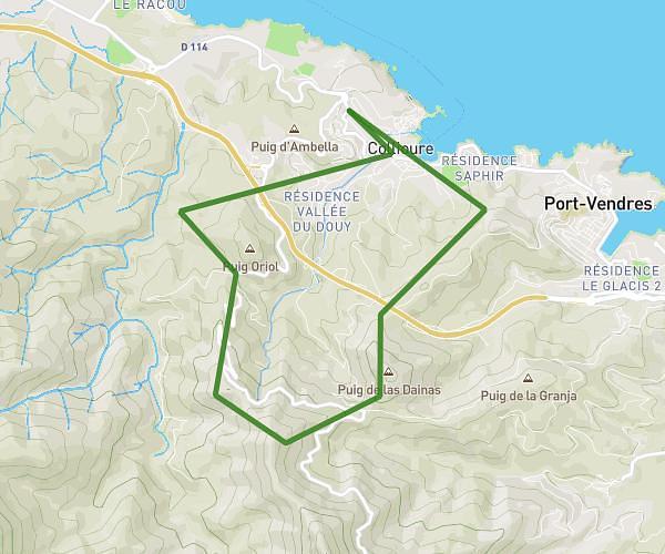
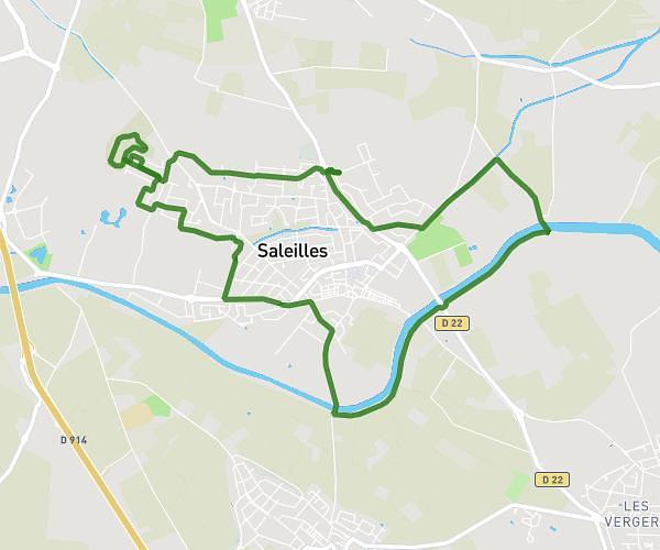
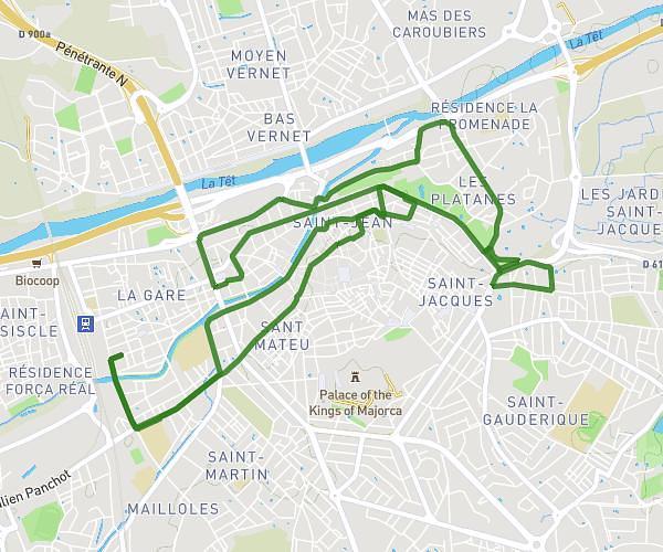
This running route covers 13.426mi starting from Argelès-sur-Mer, Pyrénées-Orientales. The run is a loop trail and returns to the trailhead. This run is rated as strenuous, expect about 2h10m to complete it. The route has an elevation gain of 49ft and an elevation loss of 39ft.
Semi Argeles
Route details
6.2mph
Speed
1486 kcal
Calories burned
Loop trail
Route type
3ft
Min altitude
43ft
Max altitude
Route profile
49ft
Elevation gain
39ft
Elevation loss
3ft
Min altitude
43ft
Max altitude
How to get there
Trailhead: 187 Avenue Du Tech, 66700 Argelès-sur-Mer, France
GPS coordinates of the trailhead: 42.55427, 3.04282 / 42°33'15'' N, 3°2'34'' E