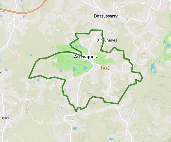
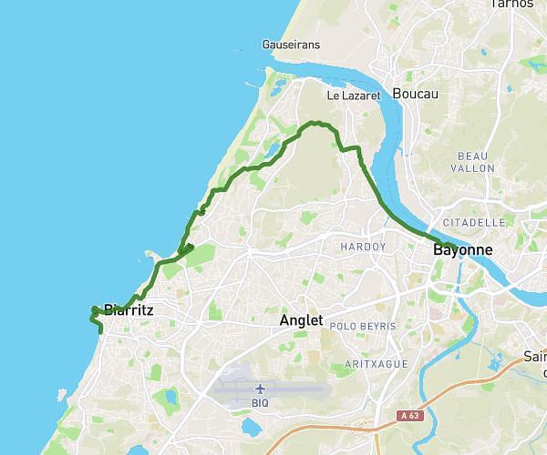
This running route covers 1.92mi starting from Hasparren, Pyrénées-Atlantiques. The run does not return to the trailhead and ends near 3235 Chemin D'uharteborda, 64240 Hasparren, France. This run is rated as easy, expect about 46m21s to complete it. The route has an elevation gain of 125ft and an elevation loss of 236ft.
XISZAHITZE2
Route details
2.49mph
Speed
530 kcal
Calories burned
Point to point
Route type
371ft
Min altitude
548ft
Max altitude
Route profile
125ft
Elevation gain
236ft
Elevation loss
371ft
Min altitude
548ft
Max altitude
How to get there
Trailhead: 451 Chemin D'uharteborda, 64240 Hasparren, France
GPS coordinates of the trailhead: 43.38316, -1.3554 / 43°22'59'' N, 1°21'19'' W