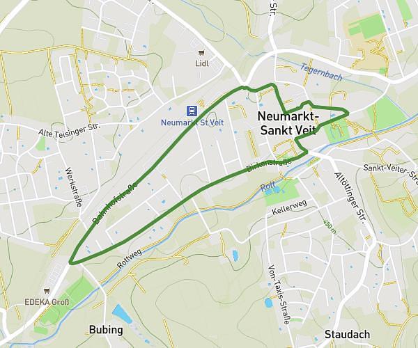
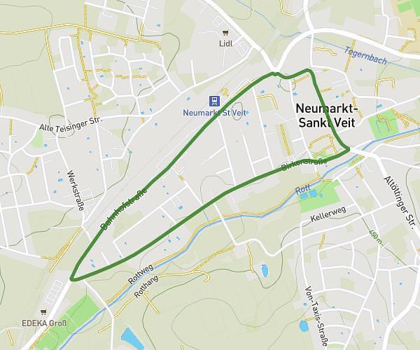
This running route covers 7.66mi starting from Mühldorf am Inn, Bavaria. The run is a loop trail and returns to the trailhead. This run is rated as hard, expect about 1h22m to complete it. The route has an elevation gain of 249ft and an elevation loss of 246ft.
Wings for Life 2026
Route details
5.6mph
Speed
938 kcal
Calories burned
Loop trail
Route type
1329ft
Min altitude
1362ft
Max altitude
Route profile
249ft
Elevation gain
246ft
Elevation loss
1329ft
Min altitude
1362ft
Max altitude
How to get there
Trailhead: Gutenbergring 79, 84453 Mühldorf am Inn, Germany
GPS coordinates of the trailhead: 48.262665, 12.534232 / 48°15'45'' N, 12°32'3'' E