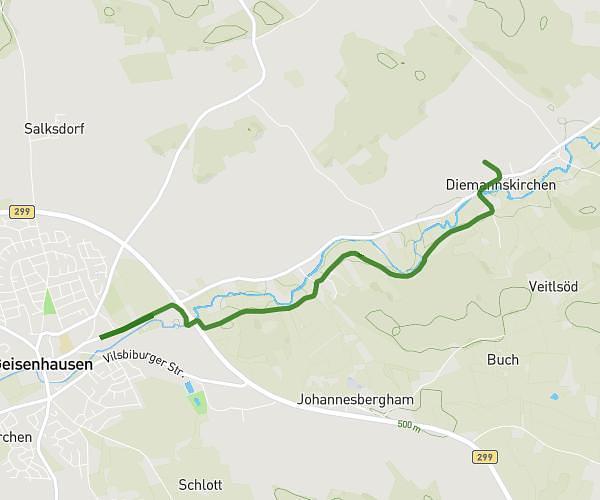
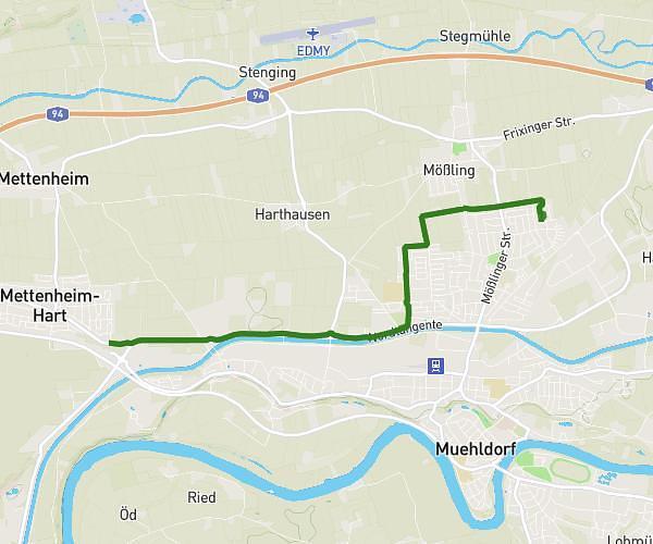
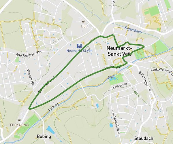
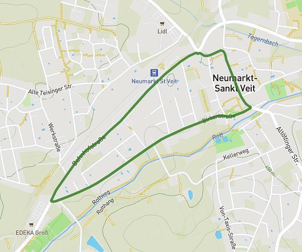
This running route covers 0.277mi starting from Neumarkt-Sankt Veit, Bavaria. The run is a loop trail and returns to the trailhead. This run is rated as easy, expect about 3m to complete it. The route has an elevation gain of 7ft and an elevation loss of 20ft.
Stadtlauf 2026 - Kinderstrecke
Route details
5.54mph
Speed
34 kcal
Calories burned
Loop trail
Route type
1447ft
Min altitude
1467ft
Max altitude
Route profile
7ft
Elevation gain
20ft
Elevation loss
1447ft
Min altitude
1467ft
Max altitude
How to get there
Trailhead: Stadtplatz 19, 84494 Neumarkt-Sankt Veit, Germany
GPS coordinates of the trailhead: 48.36117, 12.50821 / 48°21'40'' N, 12°30'29'' E