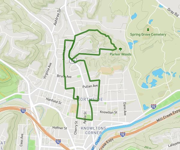
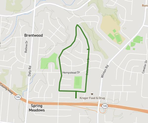
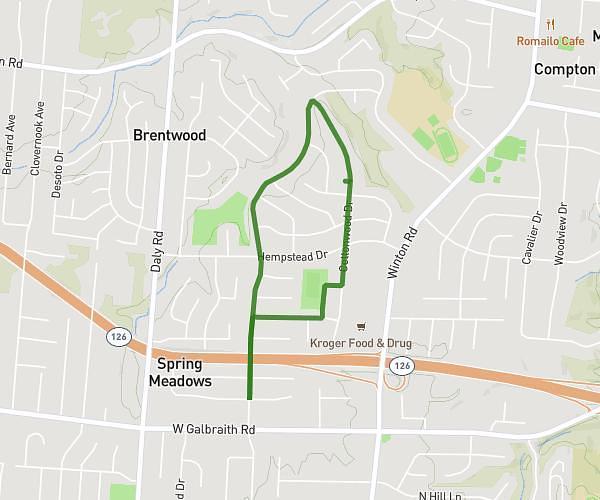
This walking route covers 2.743mi starting from Findlay, Ohio. The walk is a loop trail and returns to the trailhead. This walk is rated as easy, plan for about 45m to complete it. The route has an elevation gain of 128ft and an elevation loss of 131ft.
Piper
Route details
16:24/mi
Pace
184 kcal
Calories burned
Loop trail
Route type
771ft
Min altitude
801ft
Max altitude
Route profile
128ft
Elevation gain
131ft
Elevation loss
771ft
Min altitude
801ft
Max altitude
How to get there
Trailhead: Lippencott Avenue, 45840 Findlay
GPS coordinates of the trailhead: 41.0282, -83.63101 / 41°1'41'' N, 83°37'51'' W