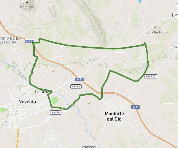
This running route covers 6.517mi starting from Villena, Alicante. The run does not return to the trailhead and ends near Calle Pintor Juan Gris 14, 03409 Villena, Alicante, Spain. This run is rated as moderate, expect about 1h10m to complete it. The route has an elevation gain of 315ft and an elevation loss of 308ft.
DÍA-LOS MENORES
Route details
5.59mph
Speed
800 kcal
Calories burned
Point to point
Route type
1621ft
Min altitude
1667ft
Max altitude
Route profile
315ft
Elevation gain
308ft
Elevation loss
1621ft
Min altitude
1667ft
Max altitude
How to get there
Trailhead: Partida Del Prado De La Villa 75, 03400 Villena, Alicante, Spain
GPS coordinates of the trailhead: 38.63597, -0.870611 / 38°38'9'' N, 0°52'14'' W