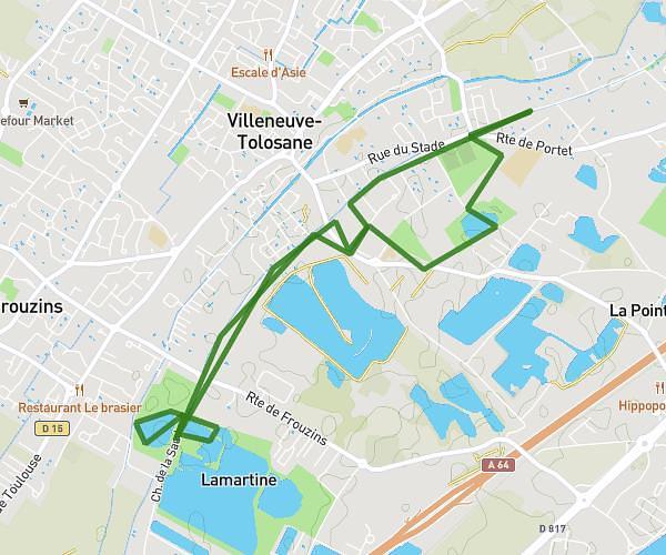
This running route covers 7.354mi starting from Montaigut-sur-Save, Haute-Garonne. The run is a loop trail and returns to the trailhead. This run is rated as moderate, expect about 1h19m to complete it. The route has an elevation gain of 866ft and an elevation loss of 863ft.
Séance de côtes
Route details
5.59mph
Speed
903 kcal
Calories burned
Loop trail
Route type
502ft
Min altitude
636ft
Max altitude
Route profile
866ft
Elevation gain
863ft
Elevation loss
502ft
Min altitude
636ft
Max altitude
How to get there
Trailhead: Itinéraire Grand Gabarit A380, 31530 Montaigut-sur-Save, France
GPS coordinates of the trailhead: 43.66153, 1.23751 / 43°39'41'' N, 1°14'15'' E