MapPlanner
8.167mi
Distance
1h19m
Duration
9:41/mi
Pace
Moderate
Level

Le Bikini (rando roller)

Route details

6.2mph
Speed
903 kcal
Calories burned
Loop trail
Route type
472ft
Min altitude
479ft
Max altitude

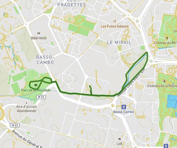
This running route covers 8.167mi starting from Saint-Orens-de-Gameville, Haute-Garonne. The run is a loop trail and returns to the trailhead. This run is rated as moderate, expect about 1h19m to complete it. The route has an elevation gain of 10ft and an elevation loss of 7ft.

Description of the route by the creator

Round trip from Mac Do ST-ORENS to Bikini in RAMONVILLE via Malepère, CNES. Return along the river Hers.

(Description automatically translated)

Route profile

10ft
Elevation gain
7ft
Elevation loss
472ft
Min altitude
479ft
Max altitude

How to get there

Trailhead: 5 Avenue De Toulouse, 31650 Saint-Orens-de-Gameville, France

GPS coordinates of the trailhead: 43.56543, 1.51424 / 43°33'55'' N, 1°30'51'' E

Caution: May Cross Private Property

This route may pass through or near private property. Always respect posted signs, obtain permission where required, and follow local trespassing laws. MapPlanner does not guarantee public access along any route.

Safety Notice

Trail and road conditions may change without notice due to weather, construction, or other factors. Always verify current conditions before heading out. You are responsible for your own safety — follow local signage, obey traffic laws, and use your best judgment on the trail.