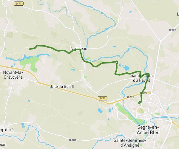
Explore this hiking route of 9.47km starting from Les Hauts-d'Anjou, Maine-et-Loire. The hike does not return to the starting point and ends near Rue Du Onze Novembre, 49125 Cheffes. This hike has no defined difficulty level, plan for about 1h40m to complete it. The route has a positive elevation gain of 60m and a negative elevation loss of 69m.
Cheffes
Route details
Route profile
60m
Elevation +
69m
Elevation -
15m
Min altitude
50m
Max altitude
How to get there
Route starting point: Rue Du Mail, 49330 Les Hauts-d'Anjou
GPS coordinates of the starting point: 47.68022, -0.4864 / 47°40'48'' N, 0°29'11'' W
Calculate the time to reach the starting point from your location or an address