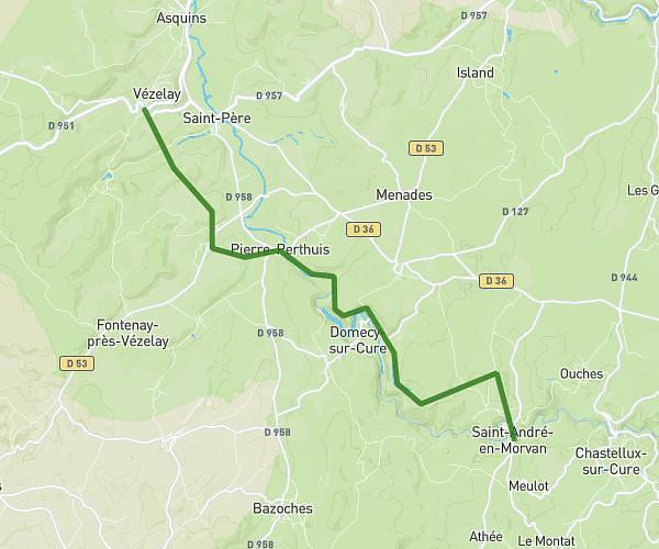
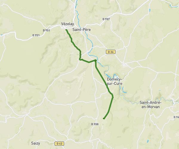
This hiking trail covers 15.778mi starting from Montigny-en-Morvan, Nièvre. The hike does not return to the trailhead and ends near 84 Route D'arringette, 58120 Montigny-en-Morvan, France. This hike is rated as moderate, plan for about 5h36m to complete it. The route has an elevation gain of 1686ft and an elevation loss of 1220ft.
Lac de Pannecière
Route details
2.81mph
Speed
2431 kcal
Calories burned
3.5%
Avg grade
Point to point
Route type
869ft
Min altitude
1391ft
Max altitude
Route profile
1686ft
Elevation gain
1220ft
Elevation loss
869ft
Min altitude
1391ft
Max altitude
How to get there
Trailhead: 197 Chemin De La Chapelle, 58120 Montigny-en-Morvan, France
GPS coordinates of the trailhead: 47.16688, 3.83585 / 47°10'0'' N, 3°50'9'' E