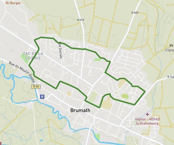
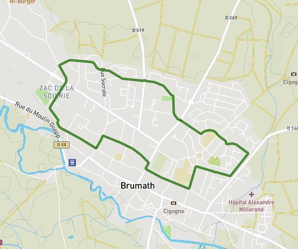
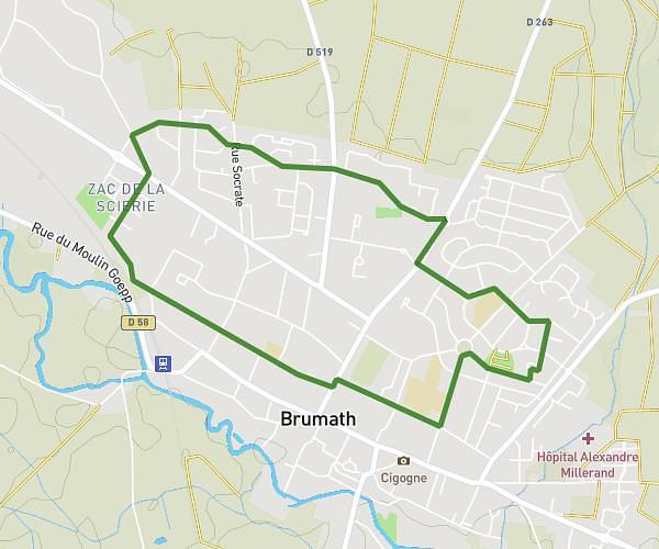
This running route covers 6.234mi starting from La Wantzenau, Bas-Rhin. The run does not return to the trailhead and ends near Place De Chalard, 67610 La Wantzenau. This run is rated as moderate, expect about 55m to complete it. The route has an elevation gain of 10ft and an elevation loss of 3ft.
10km
Route details
6.8mph
Speed
629 kcal
Calories burned
Point to point
Route type
427ft
Min altitude
436ft
Max altitude
Route profile
10ft
Elevation gain
3ft
Elevation loss
427ft
Min altitude
436ft
Max altitude
How to get there
Trailhead: Rue De Périgueux, 67610 La Wantzenau
GPS coordinates of the trailhead: 48.65082, 7.8266 / 48°39'2'' N, 7°49'35'' E