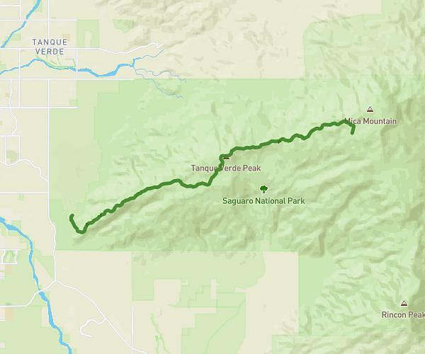
Explore this hiking route of 11.3km starting from Benson, Arizona. The hike does not return to the starting point and ends near 85602 Benson. This hike has no defined difficulty level, plan for about 6h10m to complete it. The route has a positive elevation gain of 1217m and a negative elevation loss of 196m.
Turkey Creek to Manning Camp
Route details
Route profile
1217m
Elevation +
196m
Elevation -
1408m
Min altitude
2525m
Max altitude
How to get there
Route starting point: Turkey Creek Spring, 85602 Benson
GPS coordinates of the starting point: 32.17687, -110.48222 / 32°10'36'' N, 110°28'55'' W
Calculate the time to reach the starting point from your location or an address