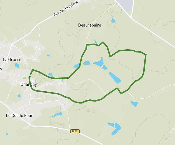
This hiking trail covers 3.793mi starting from Deux Rivières, Yonne. The hike is a loop trail and returns to the trailhead. This hike is rated as moderate, plan for about 2h to complete it. The route has an elevation gain of 538ft and an elevation loss of 531ft.
Rando du jeudi
Route details
1.9mph
Speed
878 kcal
Calories burned
5.3%
Avg grade
Loop trail
Route type
371ft
Min altitude
689ft
Max altitude
Route profile
538ft
Elevation gain
531ft
Elevation loss
371ft
Min altitude
689ft
Max altitude
How to get there
Trailhead: Rue Du Donjon, 89460 Deux Rivières
GPS coordinates of the trailhead: 47.68114, 3.69041 / 47°40'52'' N, 3°41'25'' E