MapPlanner
5.063mi
Distance
1h47m
Duration
+410ft
Elevation gain
-417ft
Elevation loss
Easy
Level

Pour Catherine courte

Route details

2.84mph
Speed
768 kcal
Calories burned
3.1%
Avg grade
Loop trail
Route type
390ft
Min altitude
561ft
Max altitude

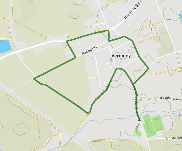
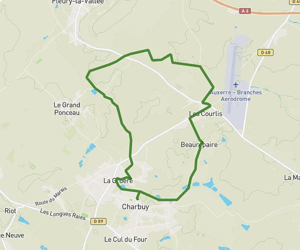
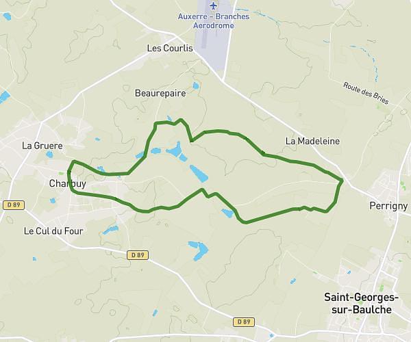
This hiking trail covers 5.063mi starting from Charbuy, Yonne. The hike is a loop trail and returns to the trailhead. This hike is rated as easy, plan for about 1h47m to complete it. The route has an elevation gain of 410ft and an elevation loss of 417ft.

Route profile

410ft
Elevation gain
417ft
Elevation loss
390ft
Min altitude
561ft
Max altitude

How to get there

Trailhead: Place Du 8 Mai 1945, 89113 Charbuy

GPS coordinates of the trailhead: 47.8245, 3.46628 / 47°49'28'' N, 3°27'58'' E

Caution: May Cross Private Property

This route may pass through or near private property. Always respect posted signs, obtain permission where required, and follow local trespassing laws. MapPlanner does not guarantee public access along any route.

Safety Notice

Trail and road conditions may change without notice due to weather, construction, or other factors. Always verify current conditions before heading out. You are responsible for your own safety — follow local signage, obey traffic laws, and use your best judgment on the trail.