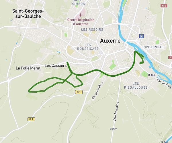
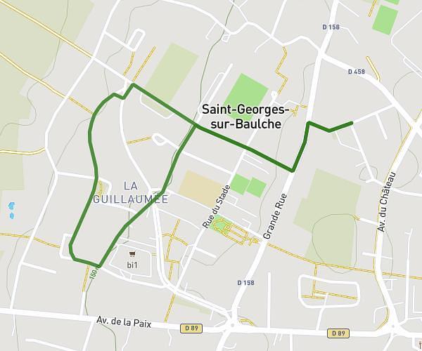
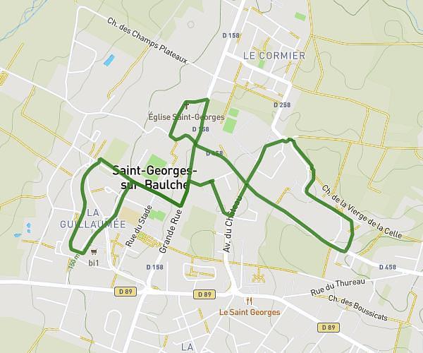
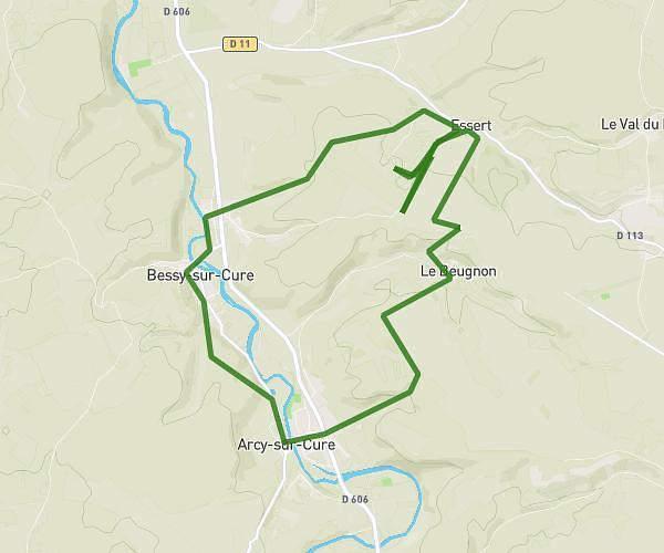
This running route covers 5.817mi starting from Deux Rivières, Yonne. The run is a loop trail and returns to the trailhead. This run is rated as moderate, expect about 2h to complete it. The route has an elevation gain of 604ft and an elevation loss of 600ft.
Sortie jeudi soir
Route details
2.91mph
Speed
1372 kcal
Calories burned
Loop trail
Route type
371ft
Min altitude
860ft
Max altitude
Route profile
604ft
Elevation gain
600ft
Elevation loss
371ft
Min altitude
860ft
Max altitude
How to get there
Trailhead: Rue Des Fossés, 89460 Deux Rivières
GPS coordinates of the trailhead: 47.68183, 3.69109 / 47°40'54'' N, 3°41'27'' E