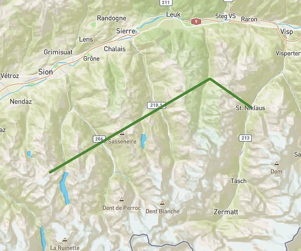
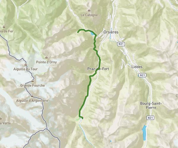
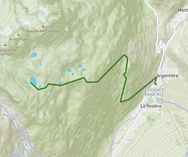
This running route covers 25.594mi starting from Le Châble, Valais. The run does not return to the trailhead and ends near Route Du Vallon 15, 1986 Arolla, Switzerland. This run is rated as strenuous, expect about 4h35m to complete it. The route has an elevation gain of 13865ft and an elevation loss of 9587ft.
La haute route test#1
Route details
5.59mph
Speed
3144 kcal
Calories burned
Point to point
Route type
2703ft
Min altitude
9760ft
Max altitude
High altitude
Route profile
13865ft
Elevation gain
9587ft
Elevation loss
2703ft
Min altitude
9760ft
Max altitude
How to get there
Trailhead: Place De Curala 1, 1934 Le Châble, Switzerland
GPS coordinates of the trailhead: 46.079037, 7.215036 / 46°4'44'' N, 7°12'54'' E