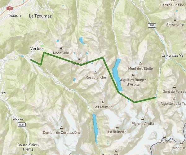
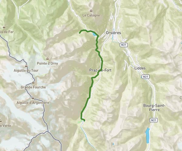
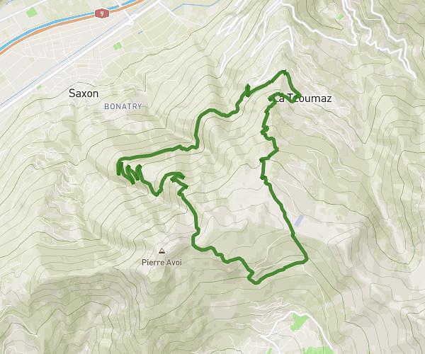
This running route covers 56.722mi starting from Hérémence, Valais. The run does not return to the trailhead and ends near Dorfstrasse 2c, 3924 St. Niklaus, Switzerland. This run is rated as strenuous, expect about 10h9m to complete it. The route has an elevation gain of 25830ft and an elevation loss of 30581ft.
Haute route test #2
Route details
5.59mph
Speed
6963 kcal
Calories burned
Point to point
Route type
4167ft
Min altitude
9524ft
Max altitude
High altitude
Route profile
25830ft
Elevation gain
30581ft
Elevation loss
4167ft
Min altitude
9524ft
Max altitude
How to get there
Trailhead: 1987, Hérémence, Valais, Switzerland
GPS coordinates of the trailhead: 46.080476, 7.368854 / 46°4'49'' N, 7°22'7'' E