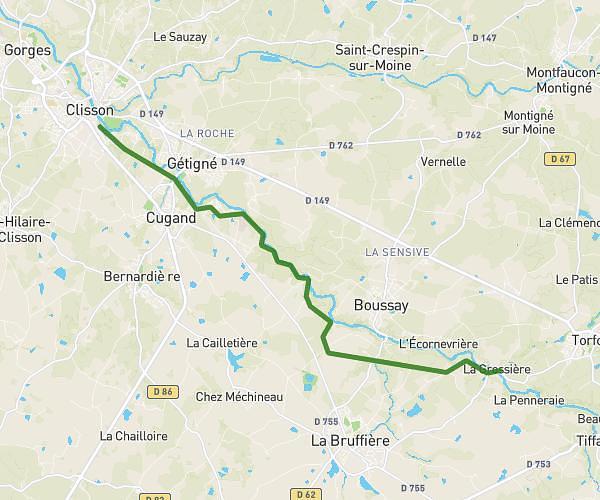
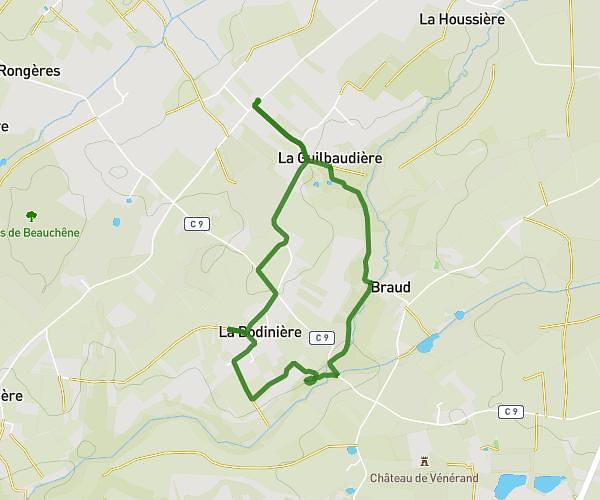
Explore this hiking route of 29.25km starting from Nantes, Loire-Atlantique. The hike does not return to the starting point and ends near Route Du Temple, 44360 Saint-Étienne-de-Montluc. This hike has no defined difficulty level, plan for about 8h24m to complete it. The route has a positive elevation gain of 160m and a negative elevation loss of 168m.
Nantes /st Étienne montluc
Route details
Route profile
160m
Elevation +
168m
Elevation -
11m
Min altitude
74m
Max altitude
How to get there
Route starting point: Boulevard Saint-Aignan, 44100 Nantes
GPS coordinates of the starting point: 47.20616, -1.57953 / 47°12'22'' N, 1°34'46'' W
Calculate the time to reach the starting point from your location or an address