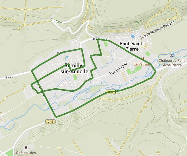
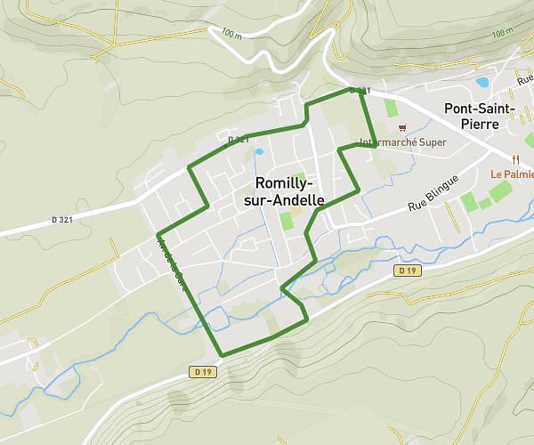
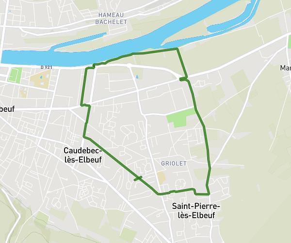
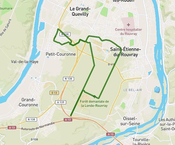
This running route covers 14.075mi starting from Petit-Couronne, Seine-Maritime. The run does not return to the trailhead and ends near Quai Émile Duchemin, 76000 Rouen, France. This run is rated as strenuous, expect about 12s to complete it. The route has an elevation gain of 584ft and an elevation loss of 679ft.
Run
Route details
4222.22mph
Speed
2 kcal
Calories burned
Point to point
Route type
3ft
Min altitude
233ft
Max altitude
Route profile
584ft
Elevation gain
679ft
Elevation loss
3ft
Min altitude
233ft
Max altitude
How to get there
Trailhead: 55 Rue Victor Hugo, 76650 Petit-Couronne, France
GPS coordinates of the trailhead: 49.392156, 1.028583 / 49°23'31'' N, 1°1'42'' E