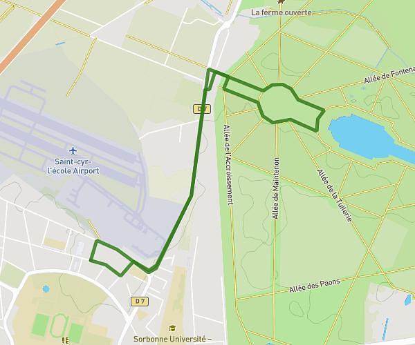
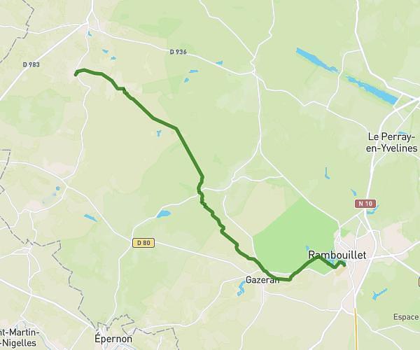
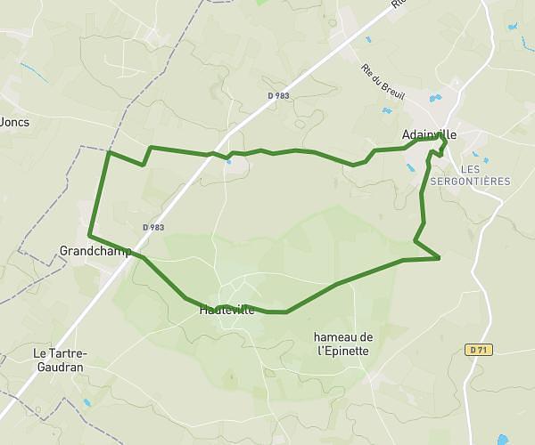
This running route covers 10.056mi starting from Villiers-le-Mahieu, Yvelines. The run is a loop trail and returns to the trailhead. This run is rated as hard, expect about 1h47m to complete it. The route has an elevation gain of 633ft and an elevation loss of 633ft.
vlm trip
Route details
5.59mph
Speed
1233 kcal
Calories burned
Loop trail
Route type
351ft
Min altitude
581ft
Max altitude
Route profile
633ft
Elevation gain
633ft
Elevation loss
351ft
Min altitude
581ft
Max altitude
How to get there
Trailhead: Rue Bernard Buffet, 78770 Villiers-le-Mahieu
GPS coordinates of the trailhead: 48.85731, 1.77115 / 48°51'26'' N, 1°46'16'' E