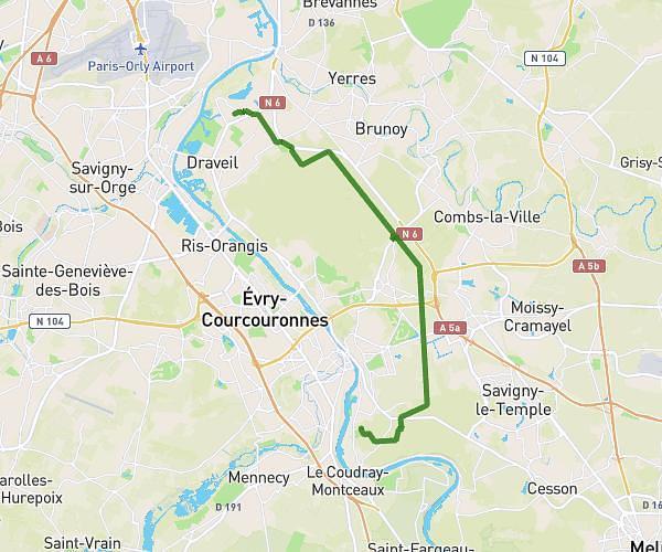
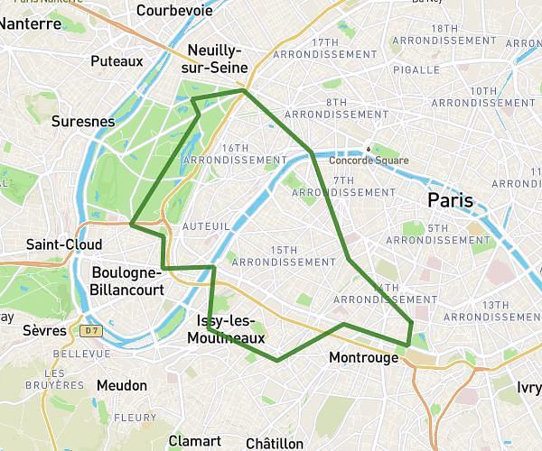
This cycling route covers 5.083mi starting from Saint-Cloud, Hauts-de-Seine. The ride does not return to the trailhead and ends near Avenue Puvis De Chavannes, 92400 Courbevoie. This route is rated as easy, plan for about 30m to complete it. The route has an elevation gain of 387ft and an elevation loss of 390ft.
Kyriba_Courbevoie
Route details
268 kcal
Calories burned
2.9%
Avg grade
Point to point
Route type
164ft
Min altitude
358ft
Max altitude
Route profile
387ft
Elevation gain
390ft
Elevation loss
164ft
Min altitude
358ft
Max altitude
How to get there
Trailhead: Rue Royale, 92210 Saint-Cloud
GPS coordinates of the trailhead: 48.84218, 2.21979 / 48°50'31'' N, 2°13'11'' E