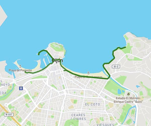
This cycling route covers 6.497mi starting from Oviedo, Asturias. The ride does not return to the trailhead and ends near Calle E, 33199 Siero, Asturias, Spain. This route is rated as easy, plan for about 25m to complete it. The route has an elevation gain of 236ft and an elevation loss of 427ft.
Trabajo
Route details
221 kcal
Calories burned
1.9%
Avg grade
Point to point
Route type
518ft
Min altitude
778ft
Max altitude
Route profile
236ft
Elevation gain
427ft
Elevation loss
518ft
Min altitude
778ft
Max altitude
How to get there
Trailhead: Calle Máximo Y Fromestano 2, 33009 Oviedo, Asturias, Spain
GPS coordinates of the trailhead: 43.36066, -5.84323 / 43°21'38'' N, 5°50'35'' W