MapPlanner
5.17mi
Distance
1h15m
Duration
4.13mph
Speed
+203ft
Elevation gain
-125ft
Elevation loss
Easy
Level

El muro

Route details

664 kcal
Calories burned
1.2%
Avg grade
Point to point
Route type
0ft
Min altitude
79ft
Max altitude

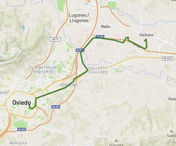
This cycling route covers 5.17mi starting from Gijón, Asturias. The ride does not return to the trailhead and ends near Jardines De El Náutico, 33202 Gijón. This route is rated as easy, plan for about 1h15m to complete it. The route has an elevation gain of 203ft and an elevation loss of 125ft.

Route profile

203ft
Elevation gain
125ft
Elevation loss
0ft
Min altitude
79ft
Max altitude

How to get there

Trailhead: Calle Mariano Pola, 33212 Gijón

GPS coordinates of the trailhead: 43.54207, -5.67413 / 43°32'31'' N, 5°40'26'' W

Caution: May Cross Private Property

This route may pass through or near private property. Always respect posted signs, obtain permission where required, and follow local trespassing laws. MapPlanner does not guarantee public access along any route.

Safety Notice

Trail and road conditions may change without notice due to weather, construction, or other factors. Always verify current conditions before heading out. You are responsible for your own safety — follow local signage, obey traffic laws, and use your best judgment on the trail.