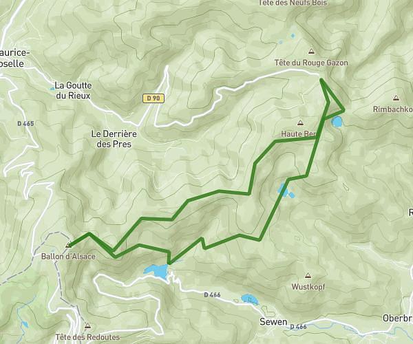
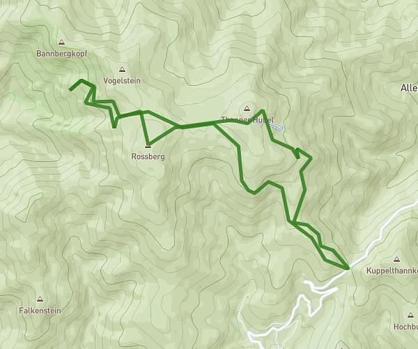
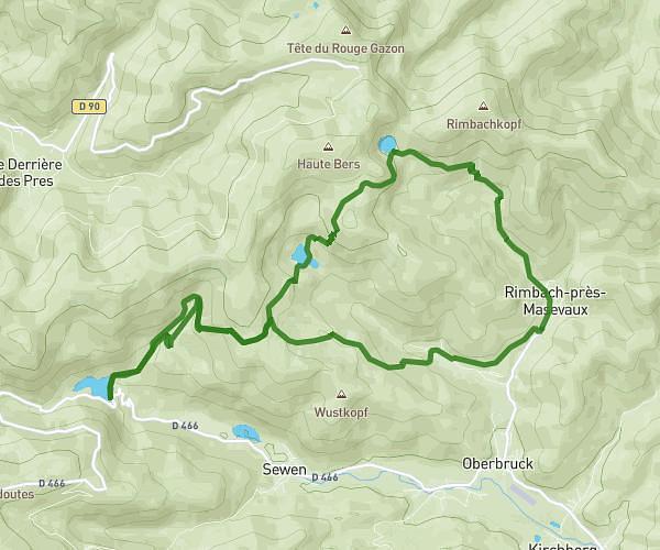
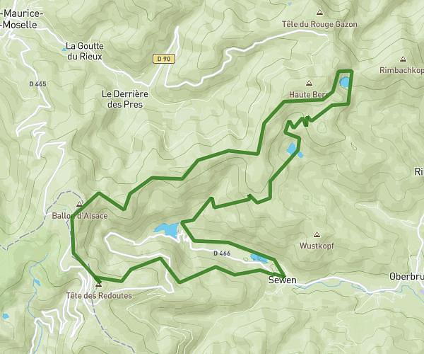
This hiking trail covers 5.609mi starting from Lepuix, Territoire de Belfort. The hike is a loop trail and returns to the trailhead. This hike is rated as strenuous, plan for about 3h36m to complete it. The route has an elevation gain of 2346ft and an elevation loss of 2346ft.
SityTrail - boucle de la Beucinière
Route details
1.55mph
Speed
1717 kcal
Calories burned
15.8%
Avg grade
Loop trail
Route type
1640ft
Min altitude
3428ft
Max altitude
Steep climb
Route profile
2346ft
Elevation gain
2346ft
Elevation loss
1640ft
Min altitude
3428ft
Max altitude
How to get there
Trailhead: 3 Rue Du Moulin, 90200 Lepuix, France
GPS coordinates of the trailhead: 47.7592, 6.81918 / 47°45'33'' N, 6°49'9'' E