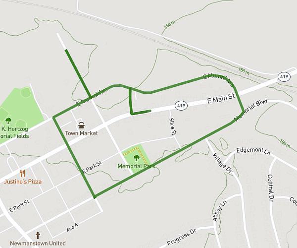
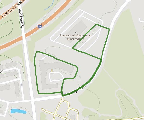
This walking route covers 2.56mi starting from Doylestown, Pennsylvania. The walk is a loop trail and returns to the trailhead. This walk is rated as easy, plan for about 55m to complete it. The route has an elevation gain of 180ft and an elevation loss of 184ft.
Dtown Borough 5000
Route details
21:30/mi
Pace
225 kcal
Calories burned
Loop trail
Route type
358ft
Min altitude
440ft
Max altitude
Route profile
180ft
Elevation gain
184ft
Elevation loss
358ft
Min altitude
440ft
Max altitude
How to get there
Trailhead: 150 South Pine Street, Doylestown, Pennsylvania 18901, United States
GPS coordinates of the trailhead: 40.30766, -75.12533 / 40°18'27'' N, 75°7'31'' W