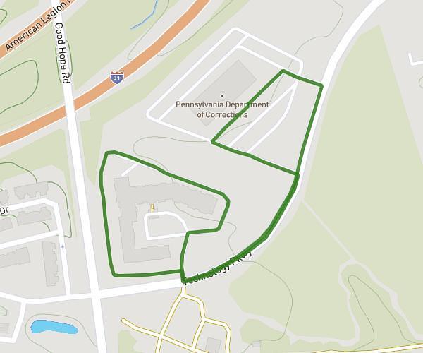
This walking route covers 1.446mi starting from Newmanstown, Pennsylvania. The walk is a loop trail and returns to the trailhead. This walk is rated as easy, plan for about 4m to complete it. The route has an elevation gain of 125ft and an elevation loss of 125ft.
Power walk
Route details
2:46/mi
Pace
16 kcal
Calories burned
Loop trail
Route type
476ft
Min altitude
518ft
Max altitude
Route profile
125ft
Elevation gain
125ft
Elevation loss
476ft
Min altitude
518ft
Max altitude
How to get there
Trailhead: 240 East Main Street, Newmanstown, Pennsylvania 17073, United States
GPS coordinates of the trailhead: 40.35325, -76.20763 / 40°21'11'' N, 76°12'27'' W