MapPlanner
17.385mi
Distance
11h38m
Duration
+9288ft
Elevation gain
-9380ft
Elevation loss
Strenuous
Level

Part I

Route details

0.0mph
Speed
5710 kcal
Calories burned
20.3%
Avg grade
Point to point
Route type
1959ft
Min altitude
6358ft
Max altitude
Steep climb

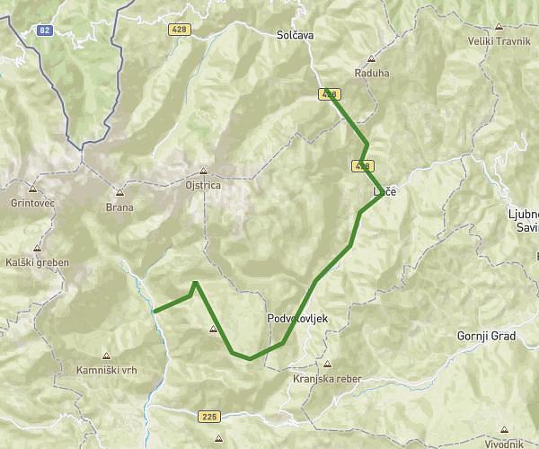
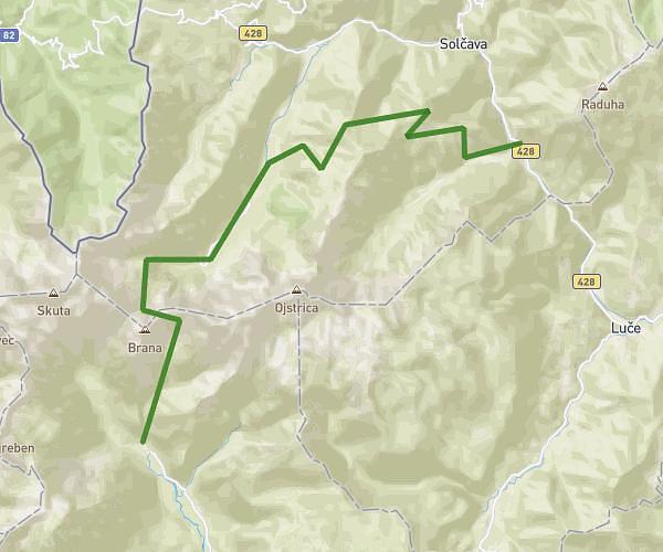
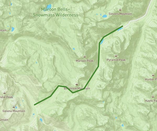
This hiking trail covers 17.385mi starting from . The hike does not return to the trailhead and ends near . This hike is rated as strenuous, plan for about 11h38m to complete it. The route has an elevation gain of 9288ft and an elevation loss of 9380ft.

Route profile

9288ft
Elevation gain
9380ft
Elevation loss
1959ft
Min altitude
6358ft
Max altitude

How to get there

Trailhead:

GPS coordinates of the trailhead: 46.329599, 14.58694 / 46°19'46'' N, 14°35'12'' E

Caution: May Cross Private Property

This route may pass through or near private property. Always respect posted signs, obtain permission where required, and follow local trespassing laws. MapPlanner does not guarantee public access along any route.

Safety Notice

Trail and road conditions may change without notice due to weather, construction, or other factors. Always verify current conditions before heading out. You are responsible for your own safety — follow local signage, obey traffic laws, and use your best judgment on the trail.